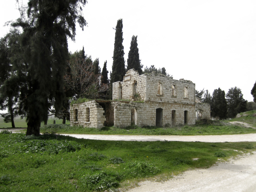
While trains still pass by Battir on their way from Jaffa-Tel Aviv to Jerusalem, in the rest of the occupied territory the railroad tracks were entirely taken apart. In the northern part of the West Bank however, the former path of the tracks can still be distinguished. Stripped of its iron rails and wooden ties, the railway persists only as a faint strip through the landscape, following the original contour line and large radius of the train’s movement. Apart from the occasional interruption, these corridors make a constellation of winding paths that connect the sites of the former Ottoman stations, each of which was built adapting a basic scheme to the topography and node’s importance. What has remained are the stone structures, now readapted or gradually ruined by nature.
The station of Massoudieh was located at the central intersection point of tracks leading to the three cities of Nablus, Jenin and Tulkarm. Situated at the crossing point of several valleys, the site attracted both railways and roads. With the zoning of land enacted by the Oslo Accords, all major road infrastructure was defined as Area C —a zone under full Israeli control— allowing Israel to regulate mobility within the occupied territory. The roads around Massoudieh have therefore also been converted into corridors of Area C. Today the site is abandoned, animated only by occasional visitors on foot or by car.
In this context where mobility is restricted and largely reduced to the use of individual vehicles on Israeli-controlled roads, could the former railway network be reactivated as an alternative to the present infrastructure? Could the station, which represents the possibility of mobility, again become a point of intensity around which rebuilding and reconnection could happen?

