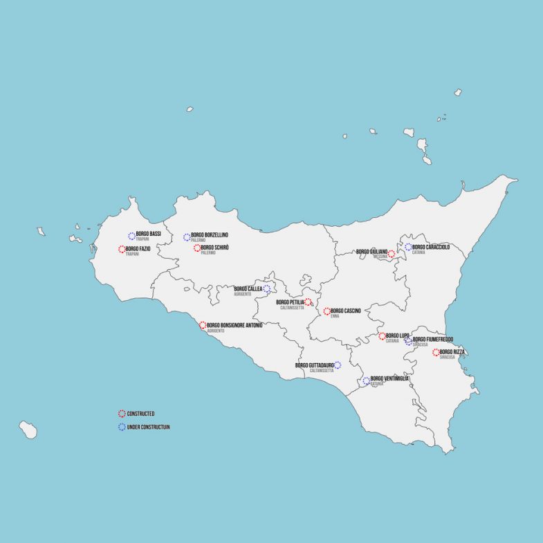
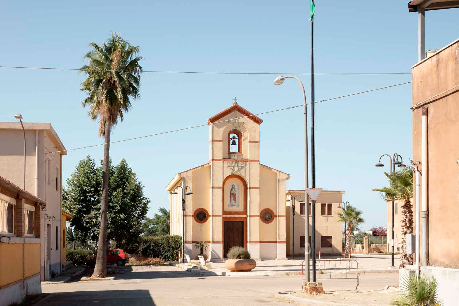
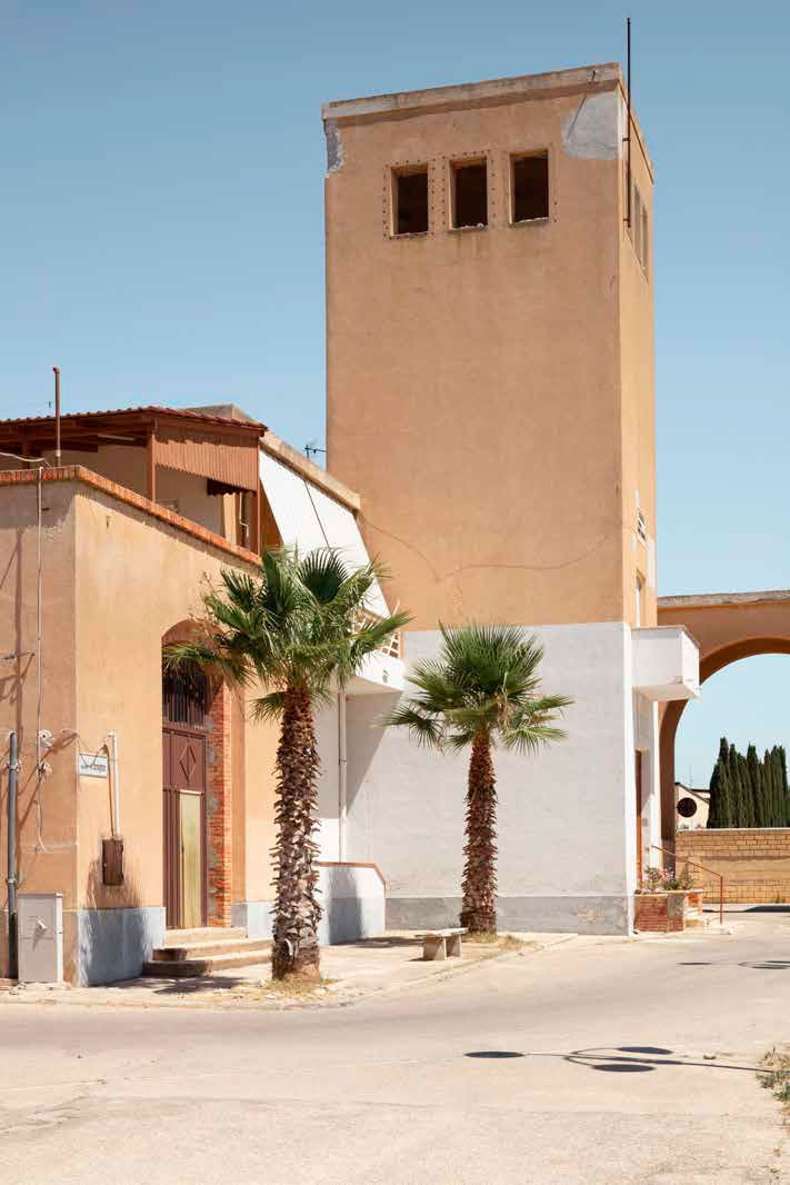
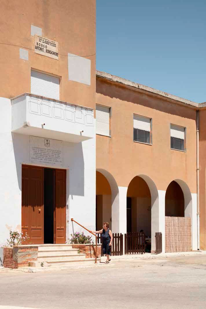
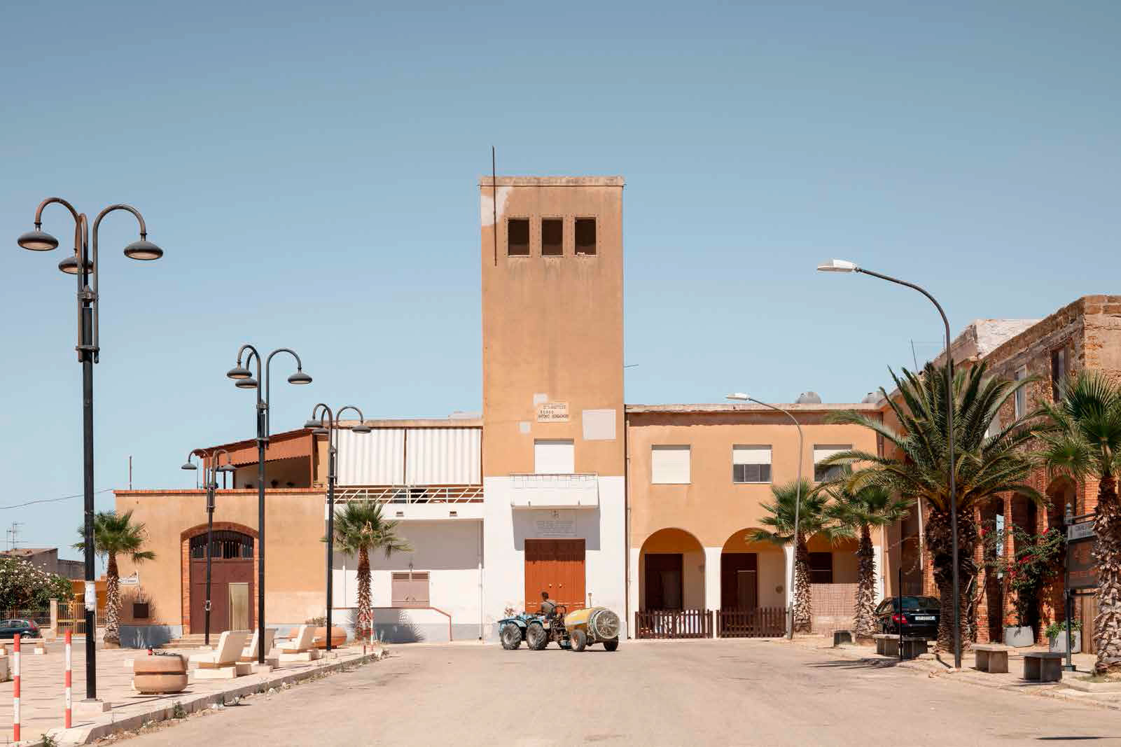
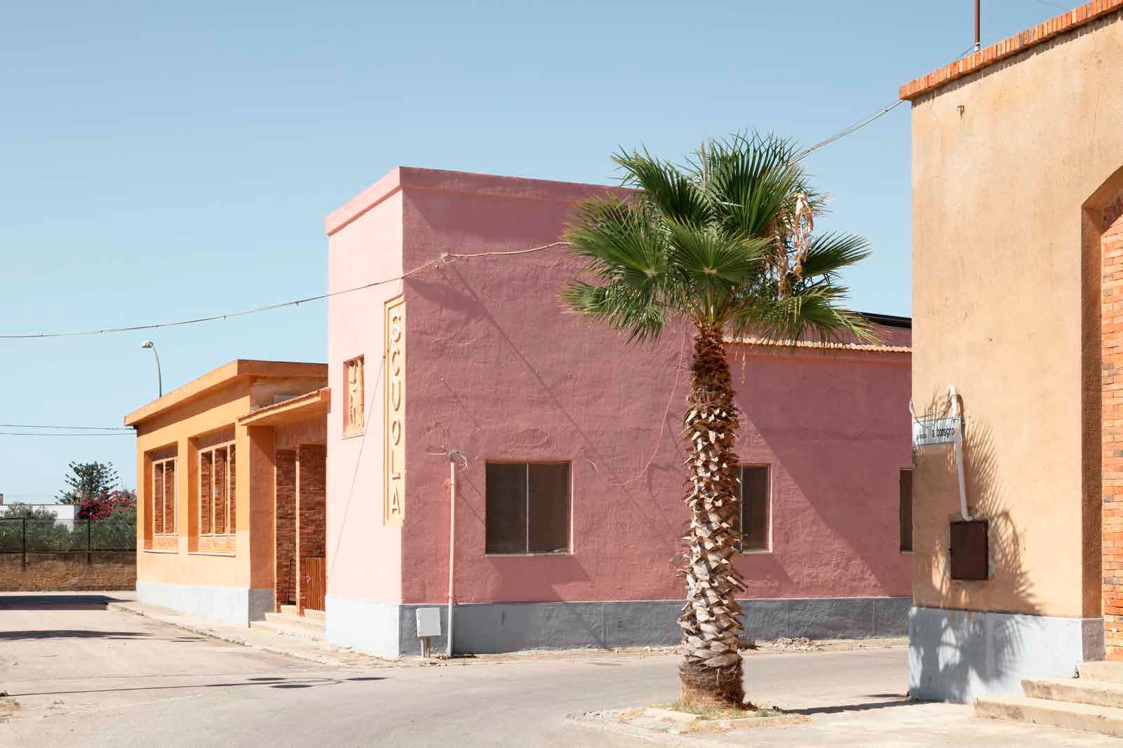
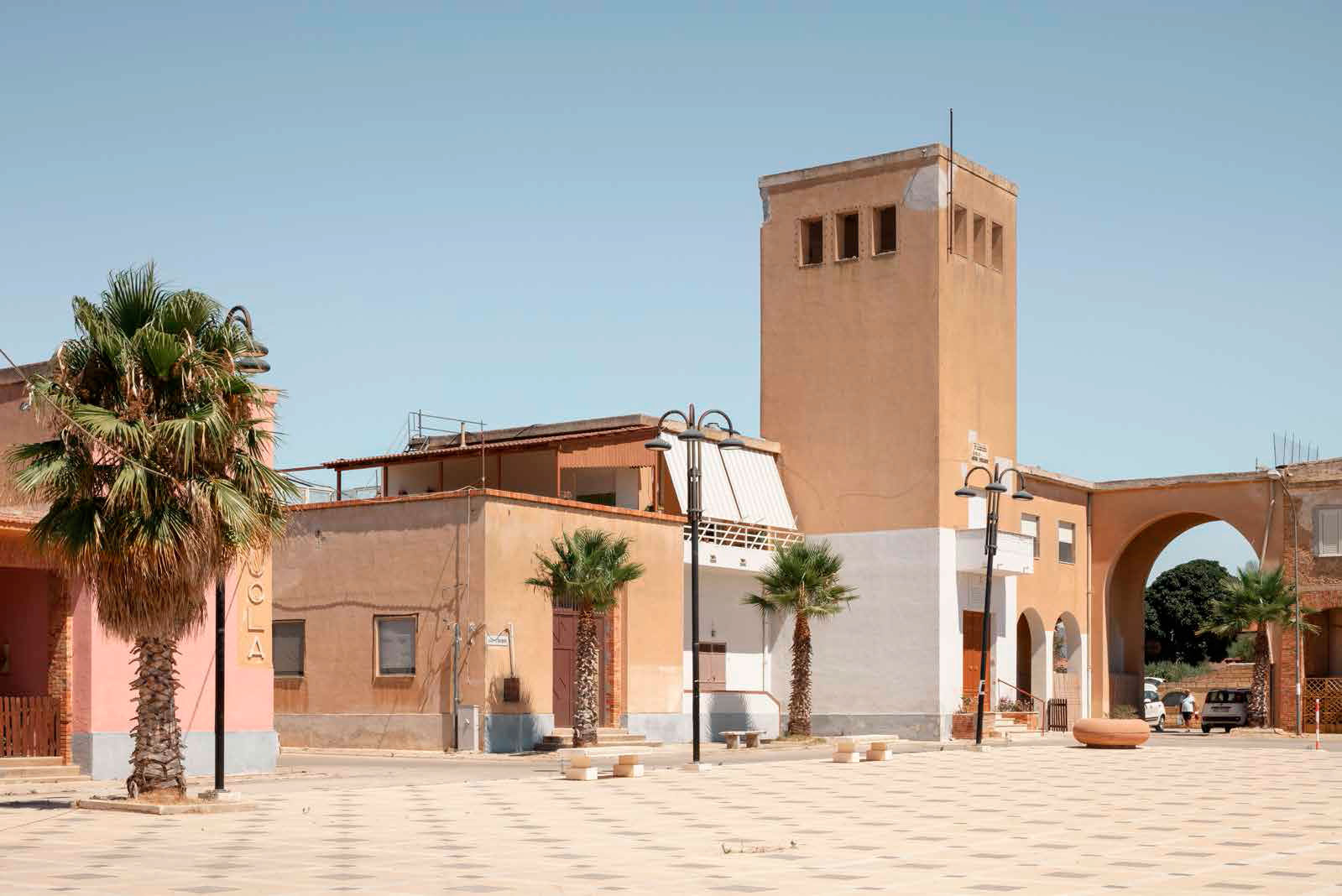
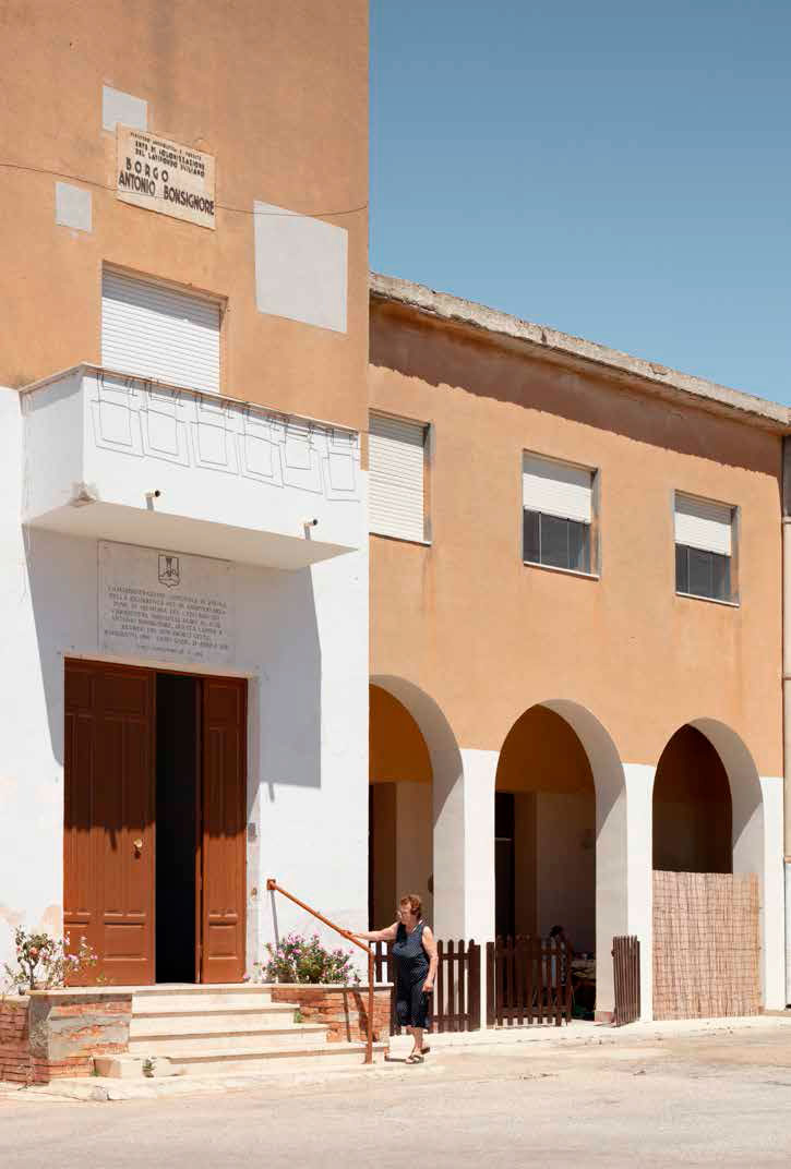
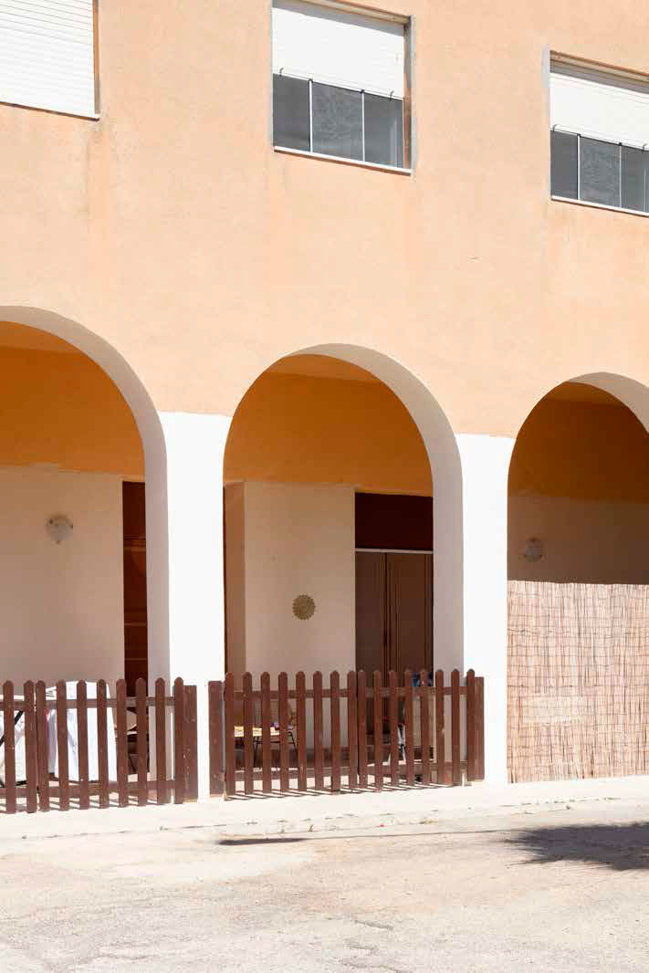
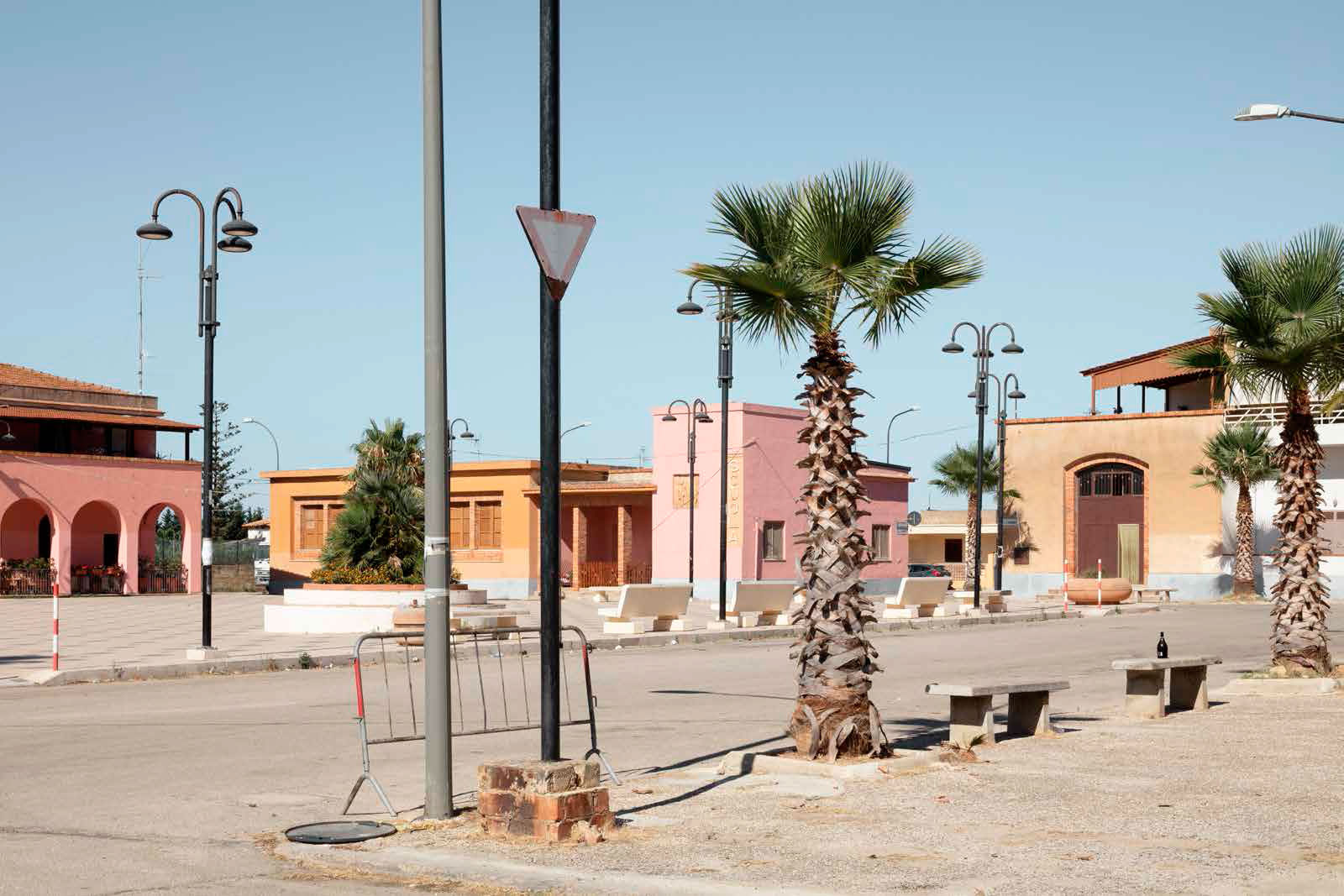
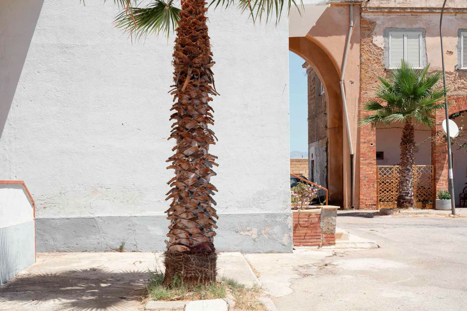
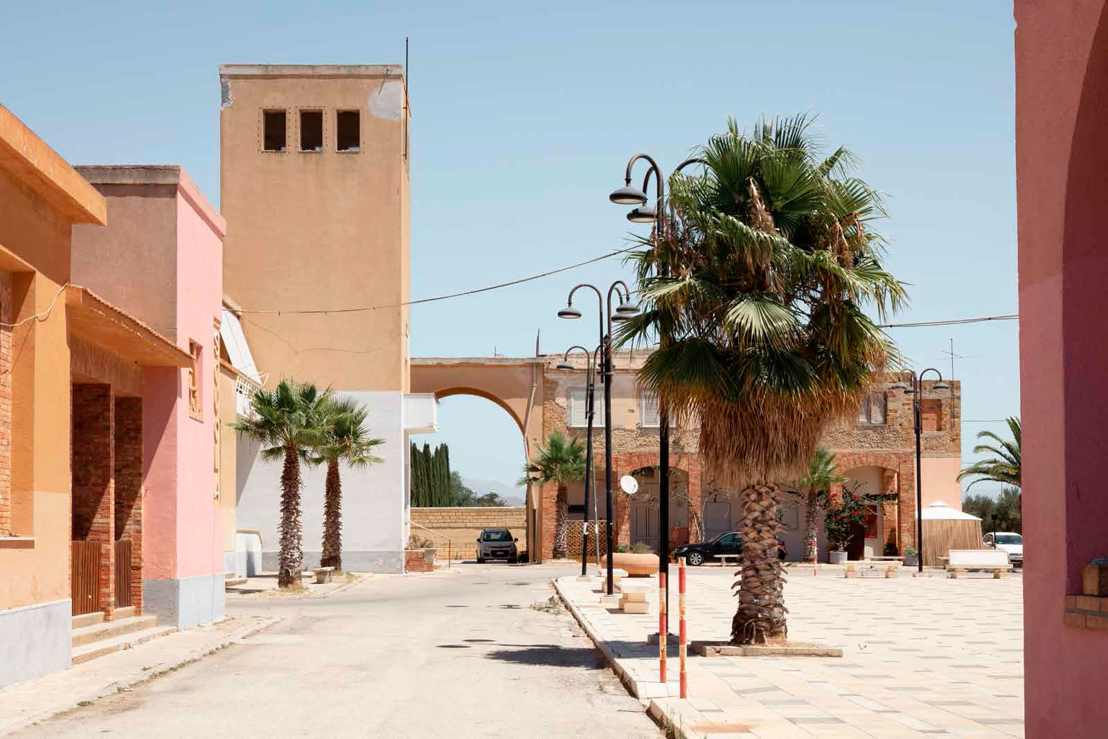
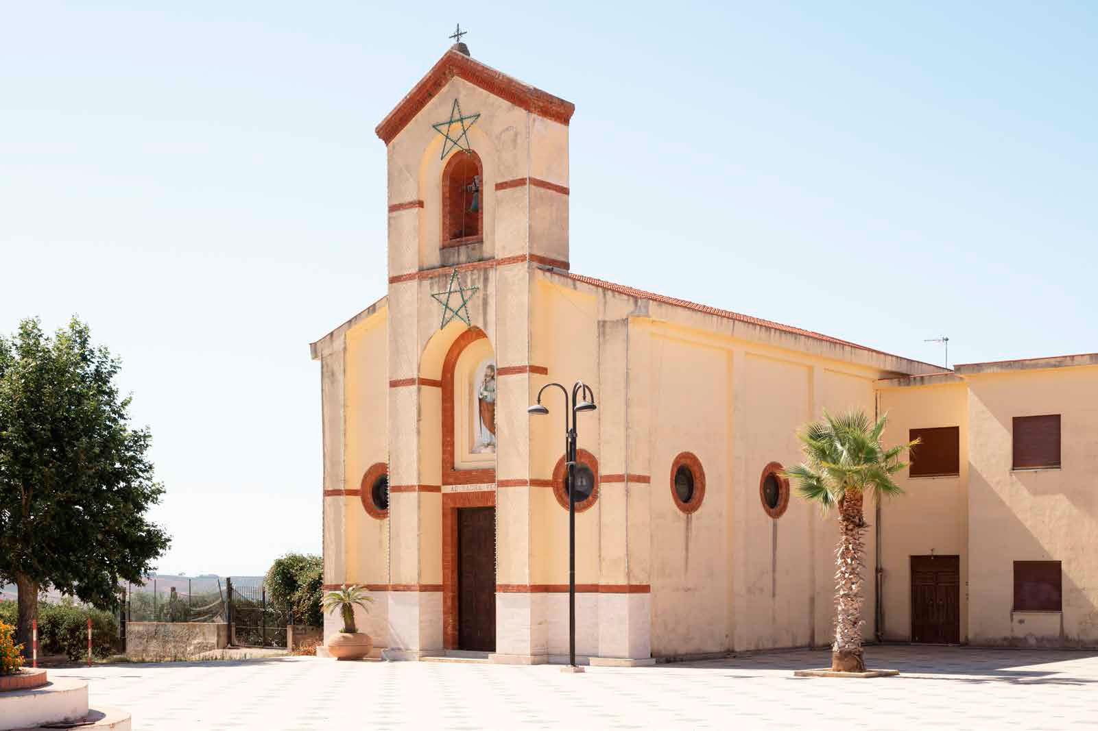
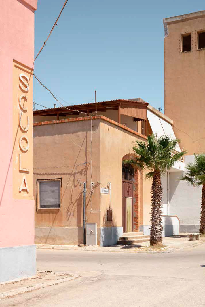
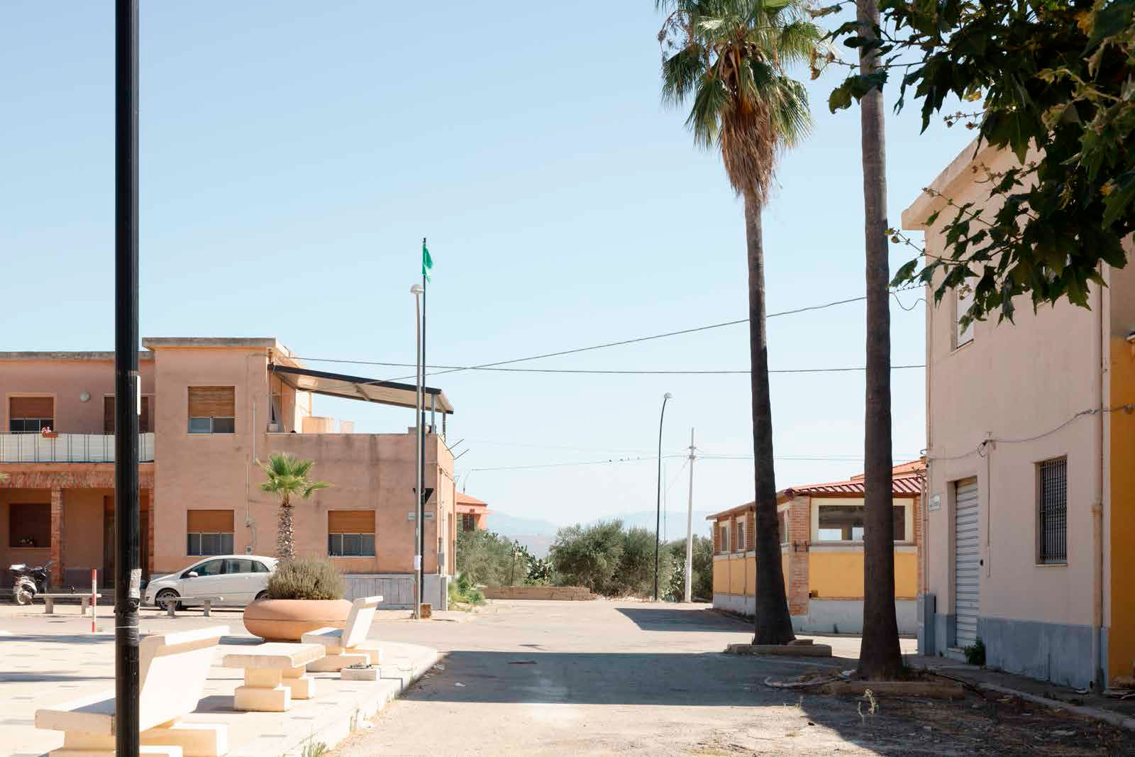
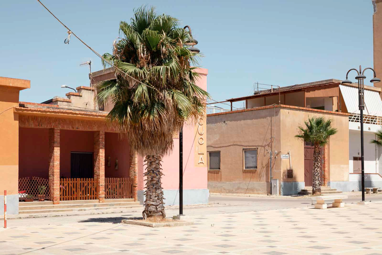
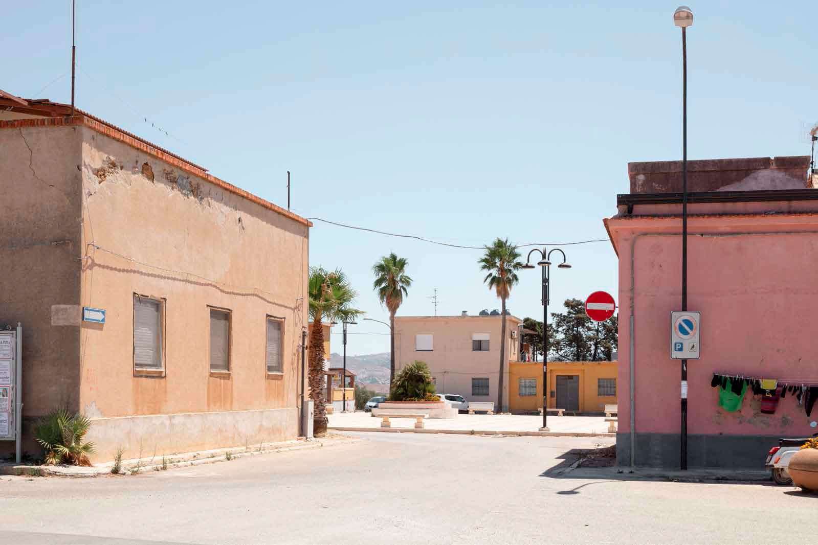
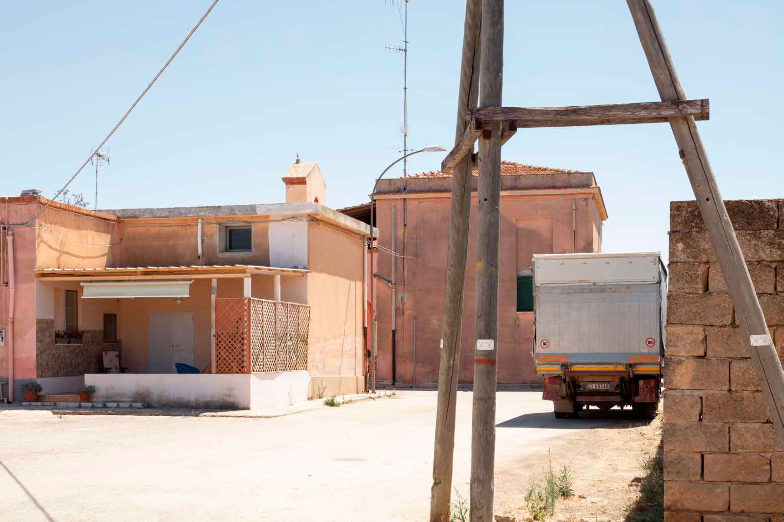
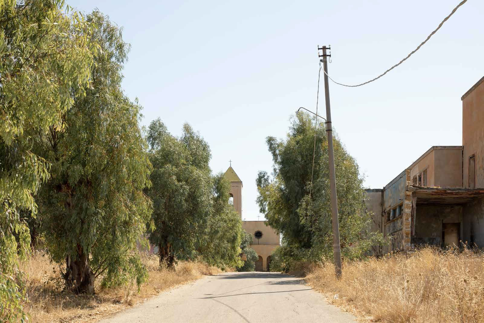
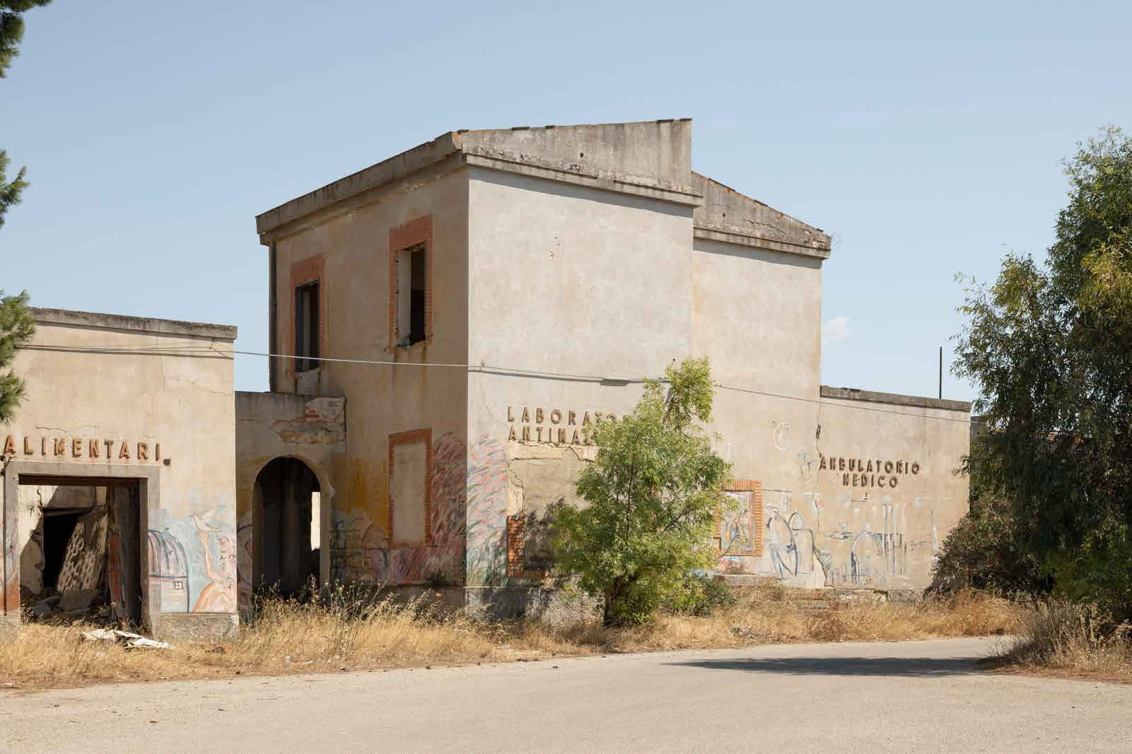
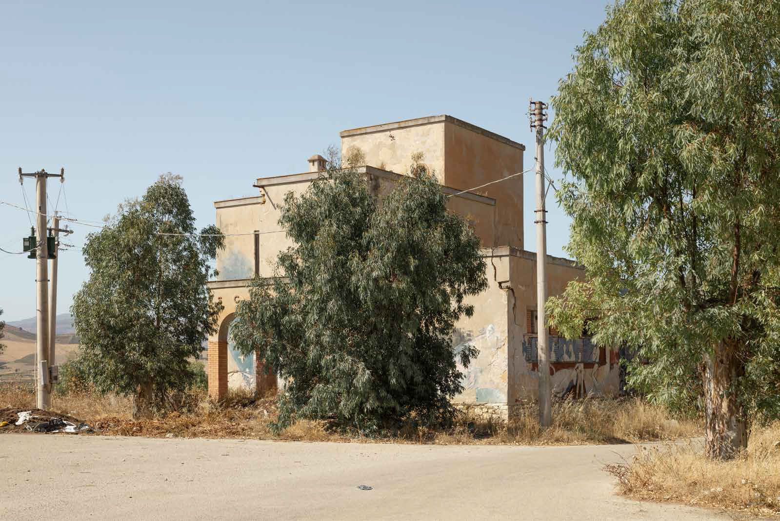
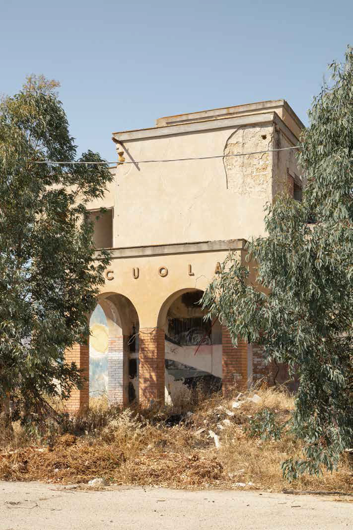
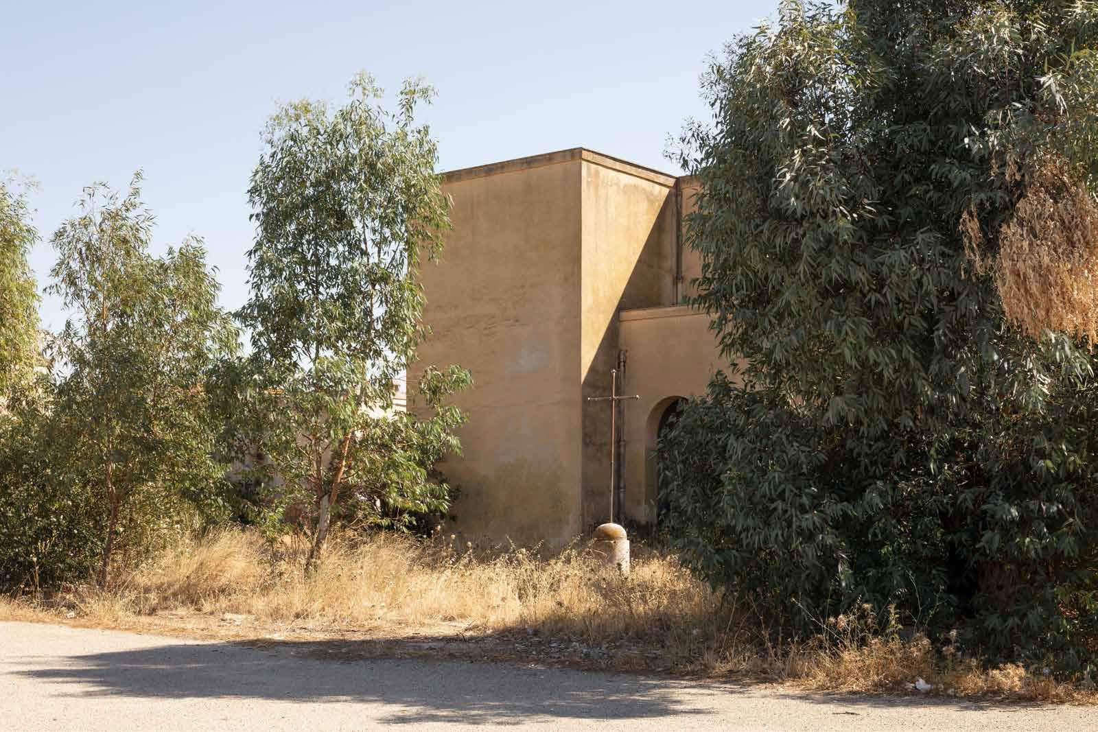
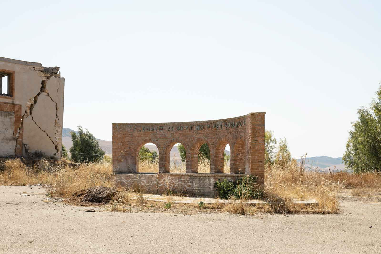
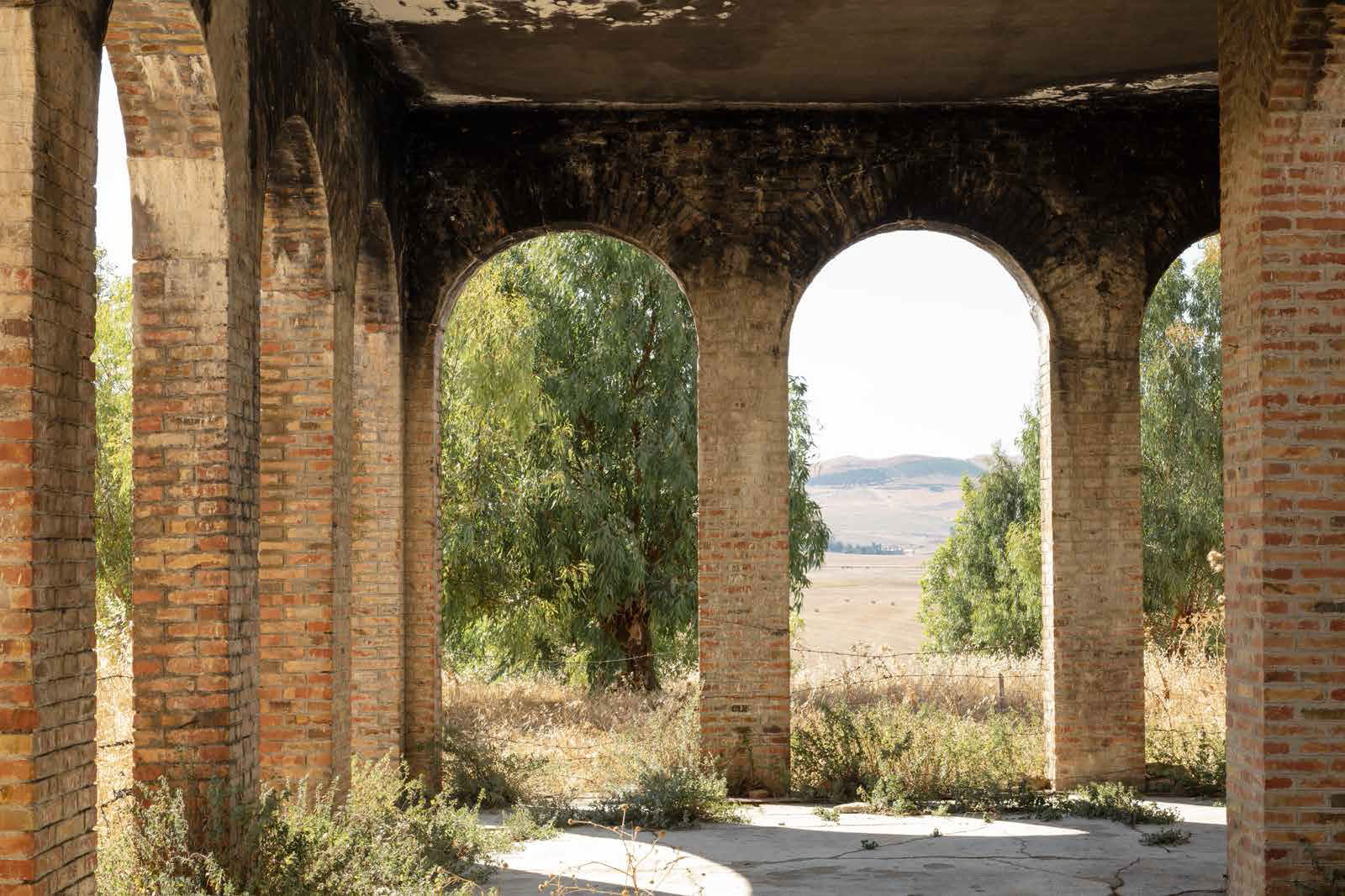
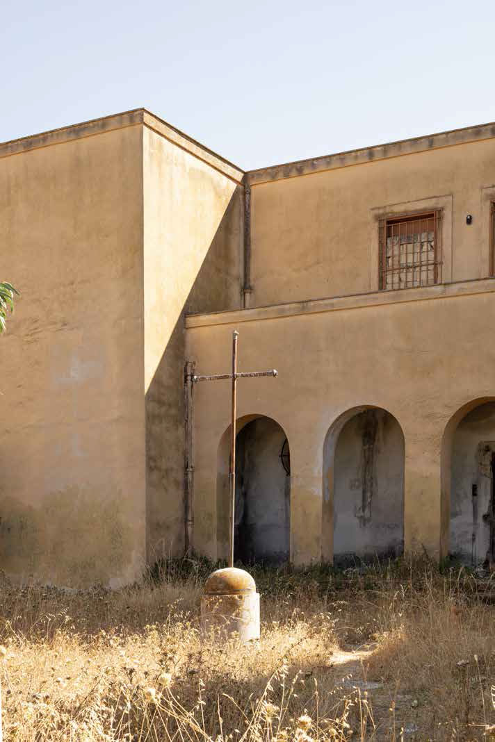
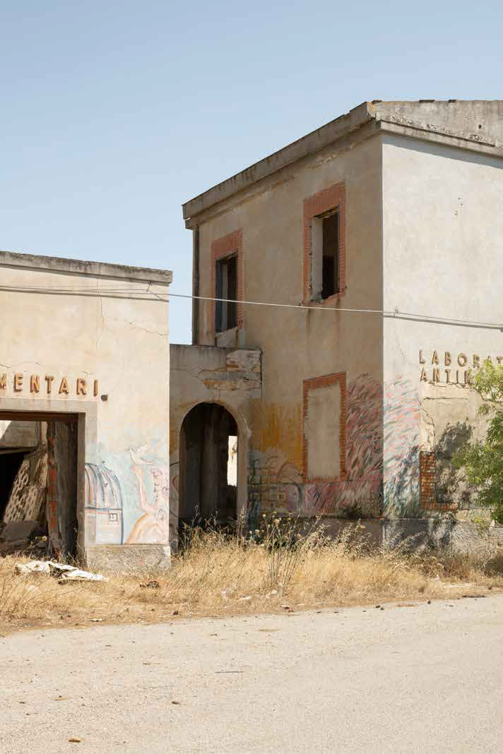
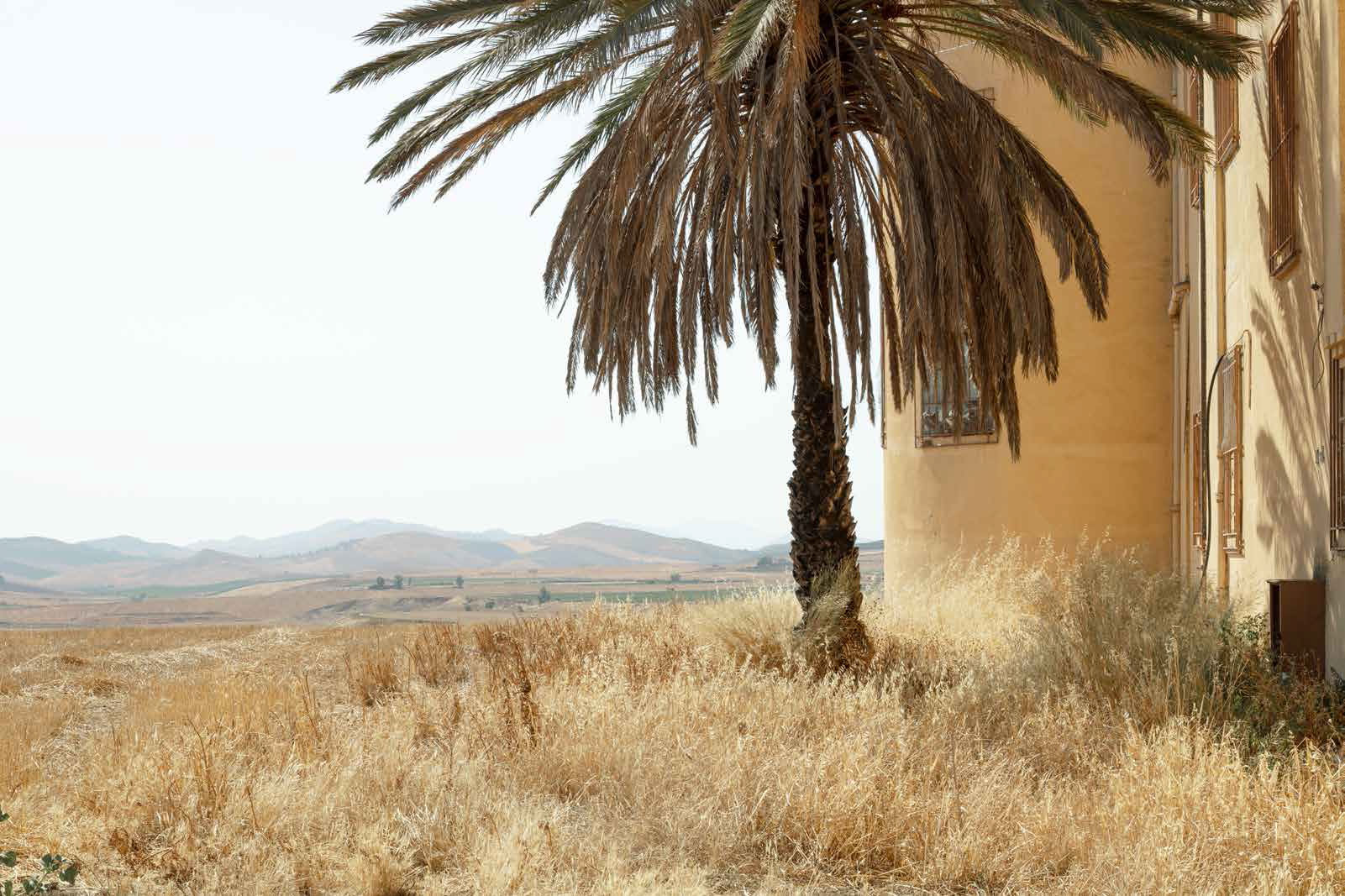
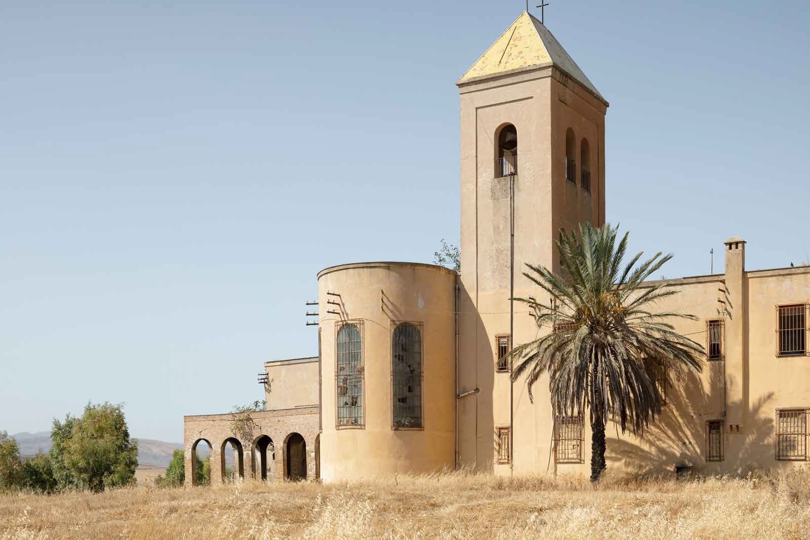
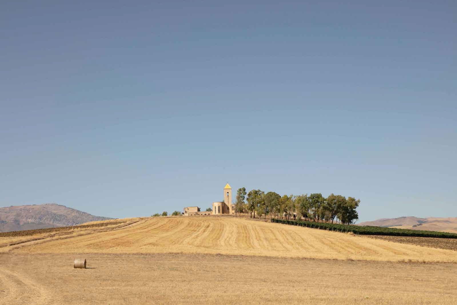
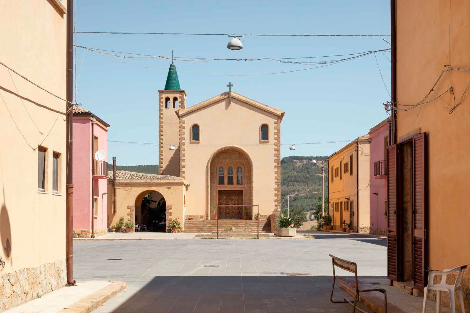
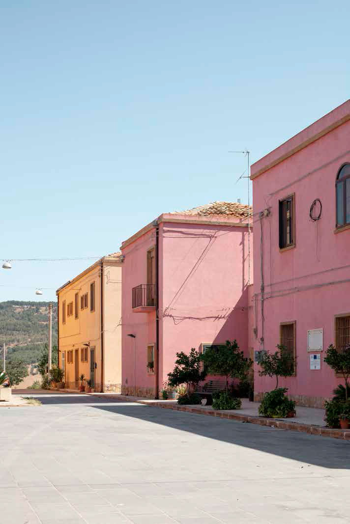
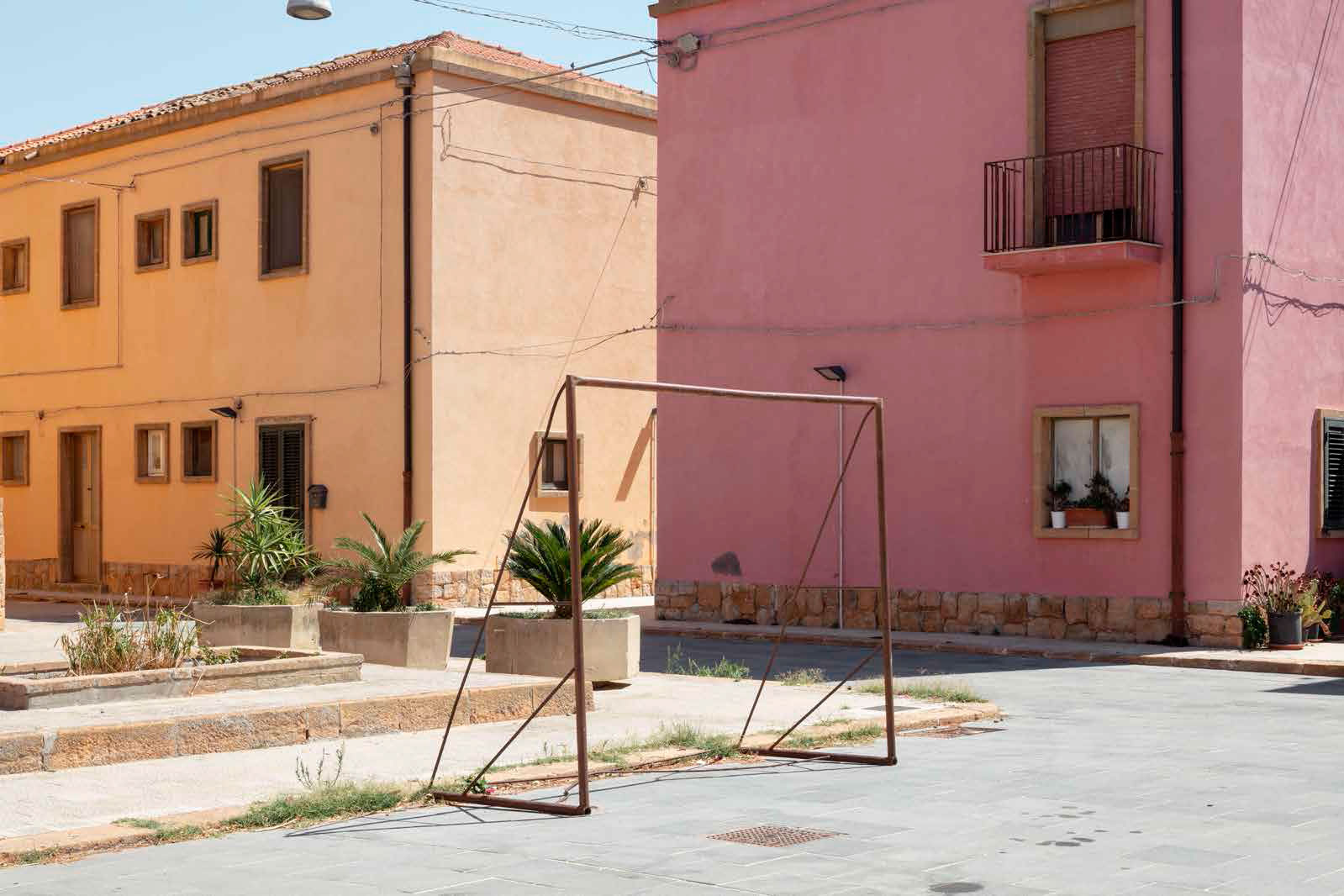
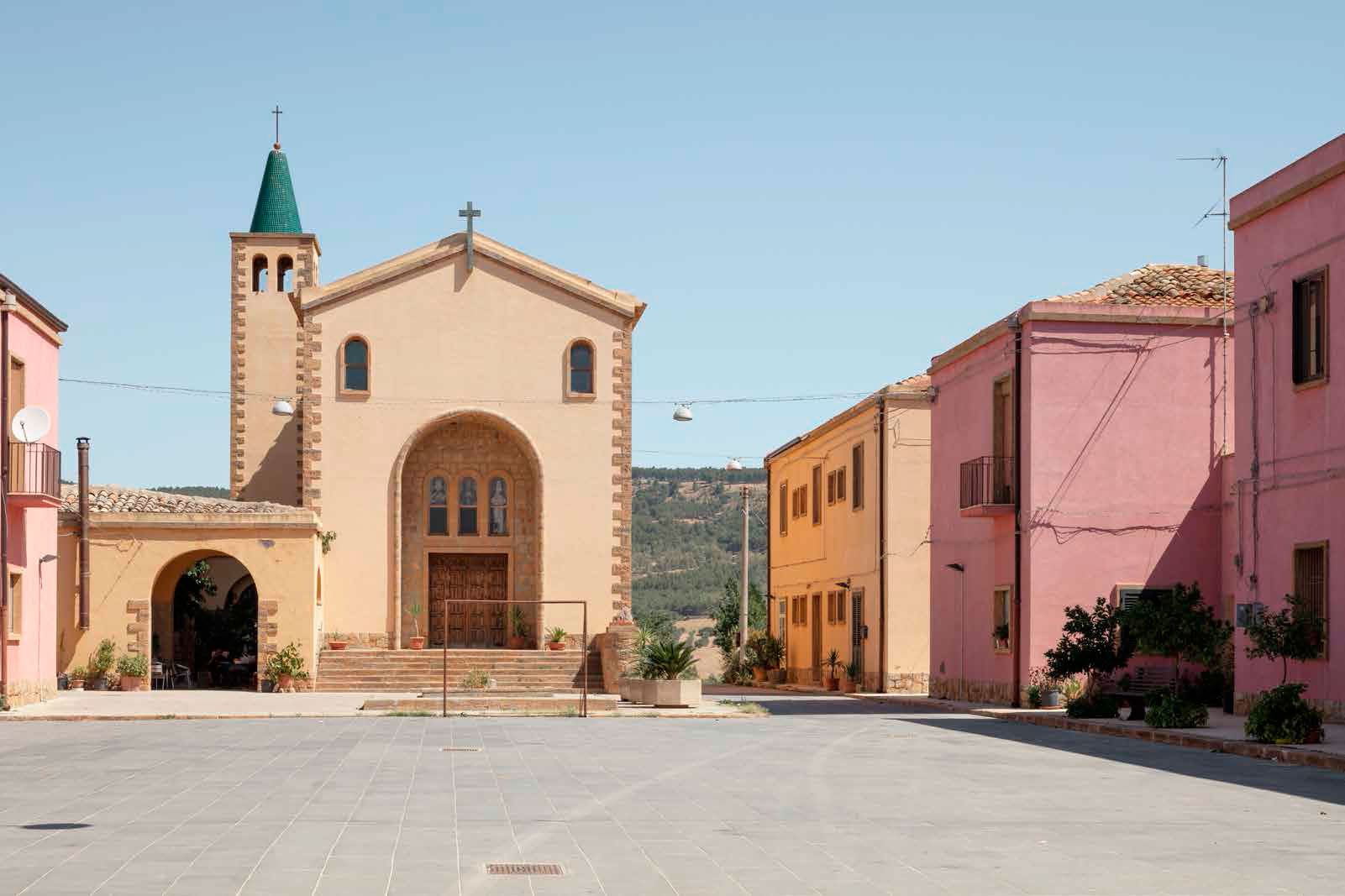
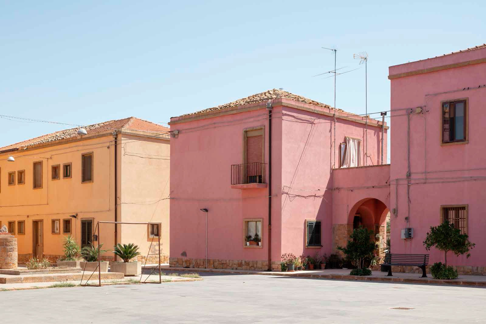
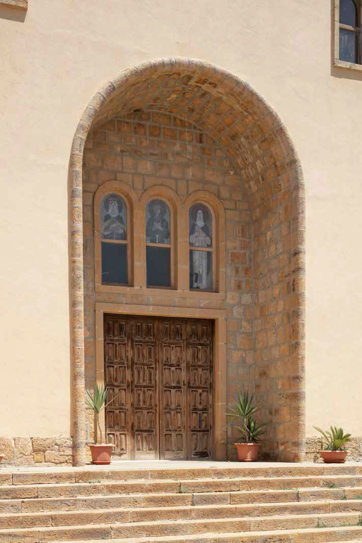
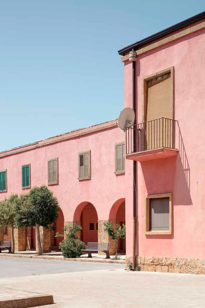
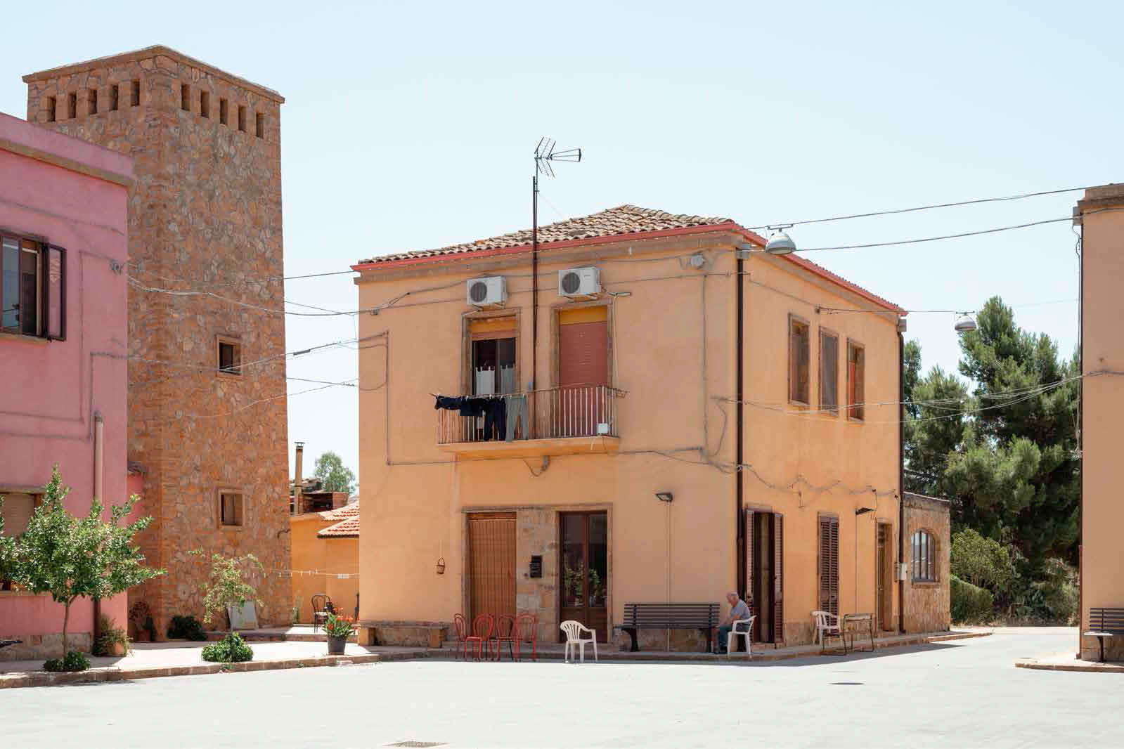
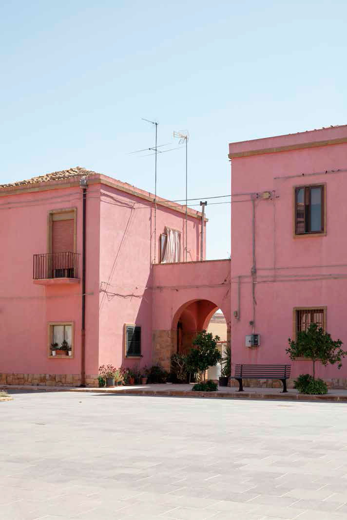
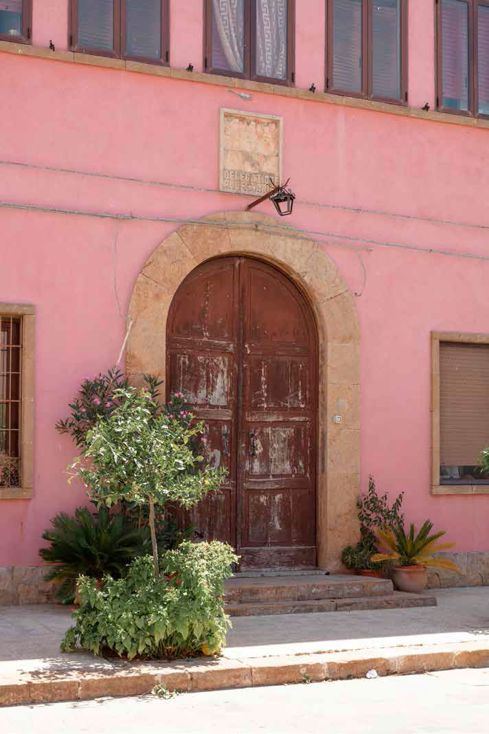
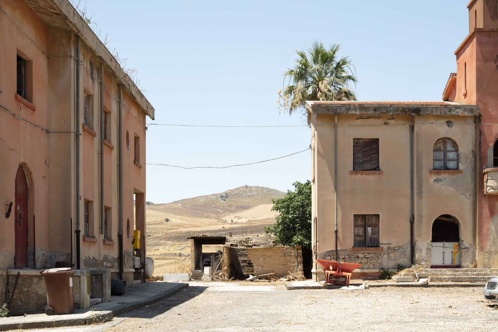
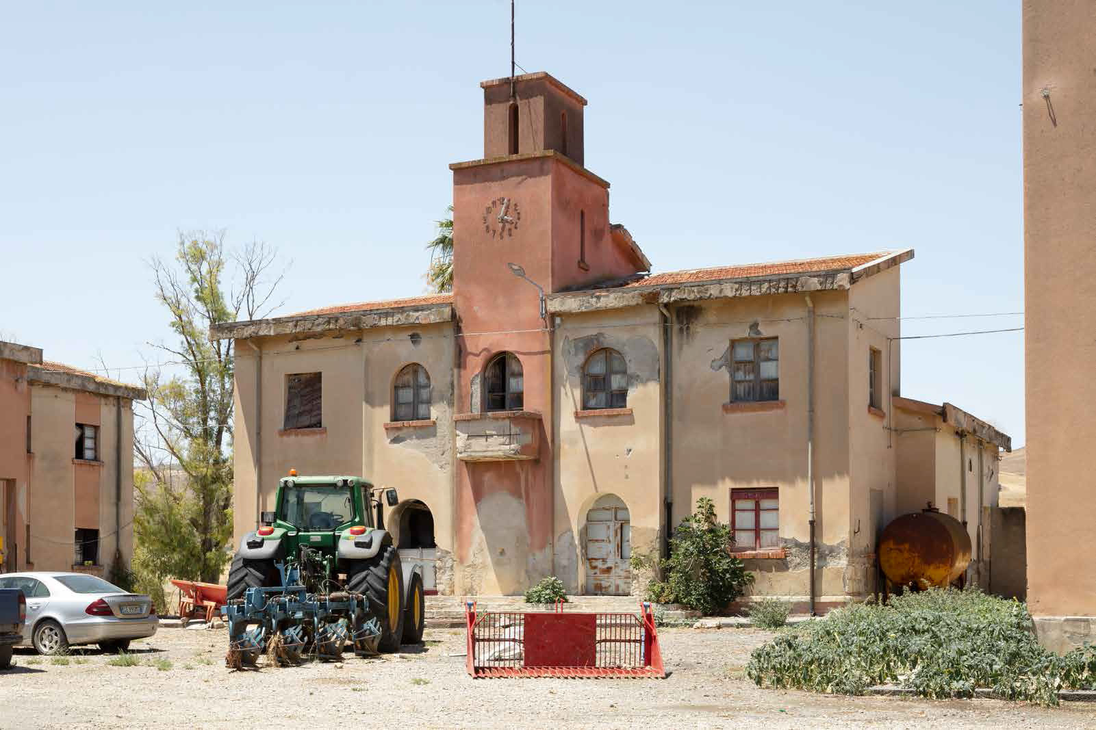
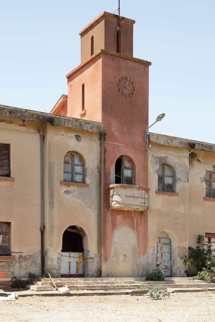
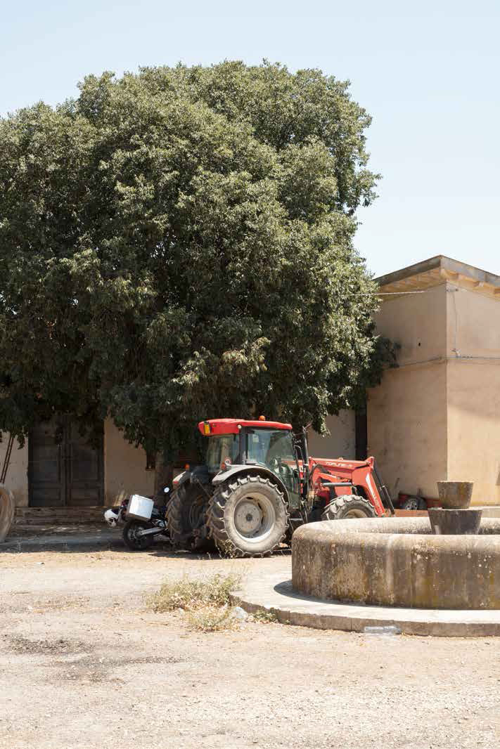
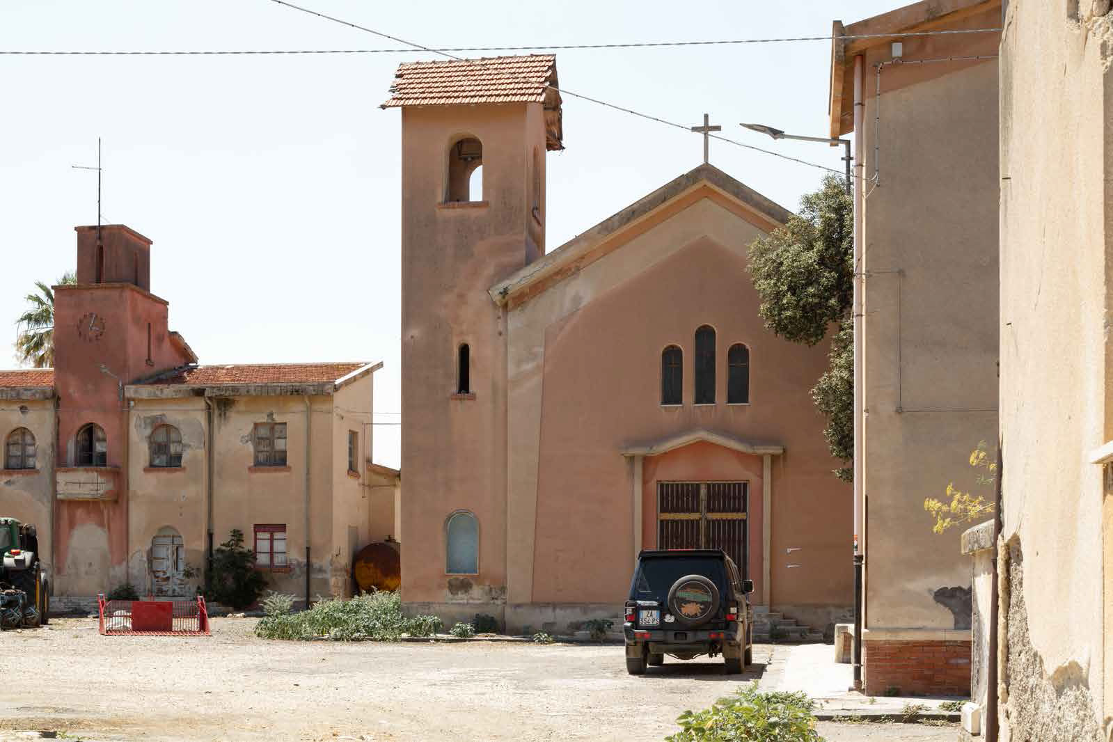
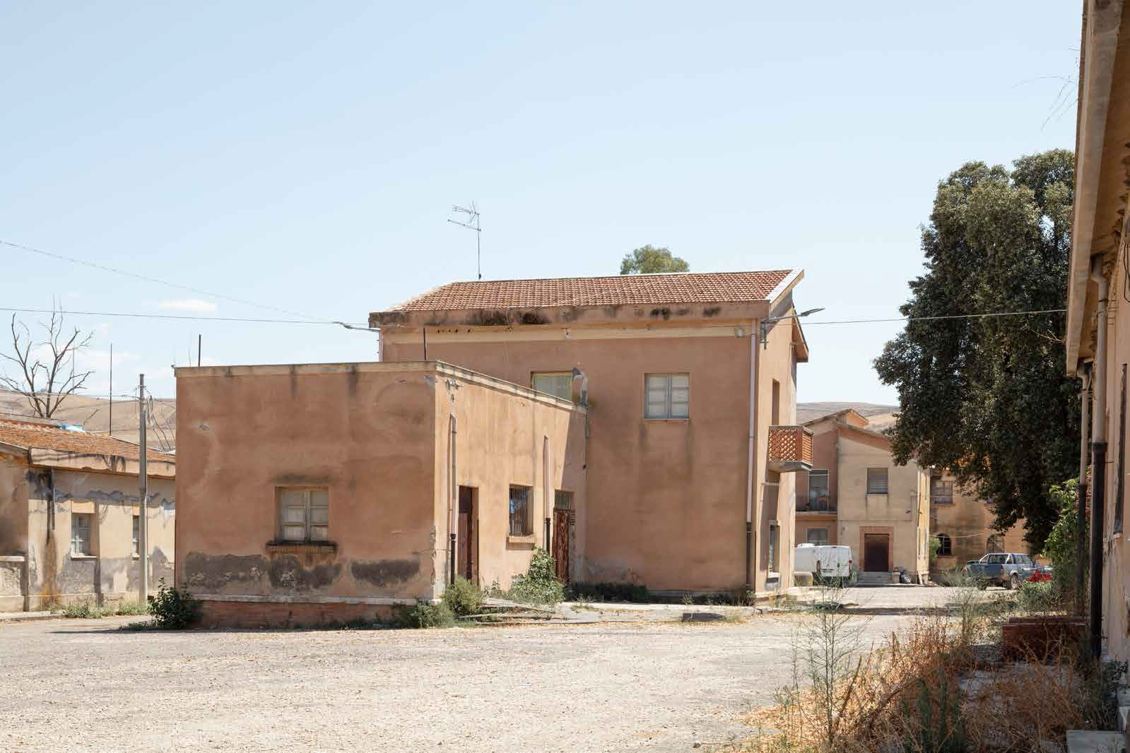
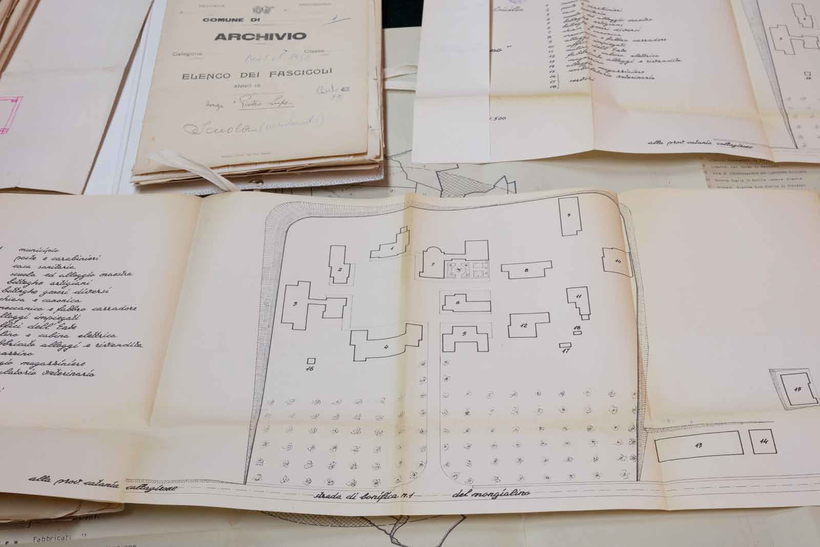
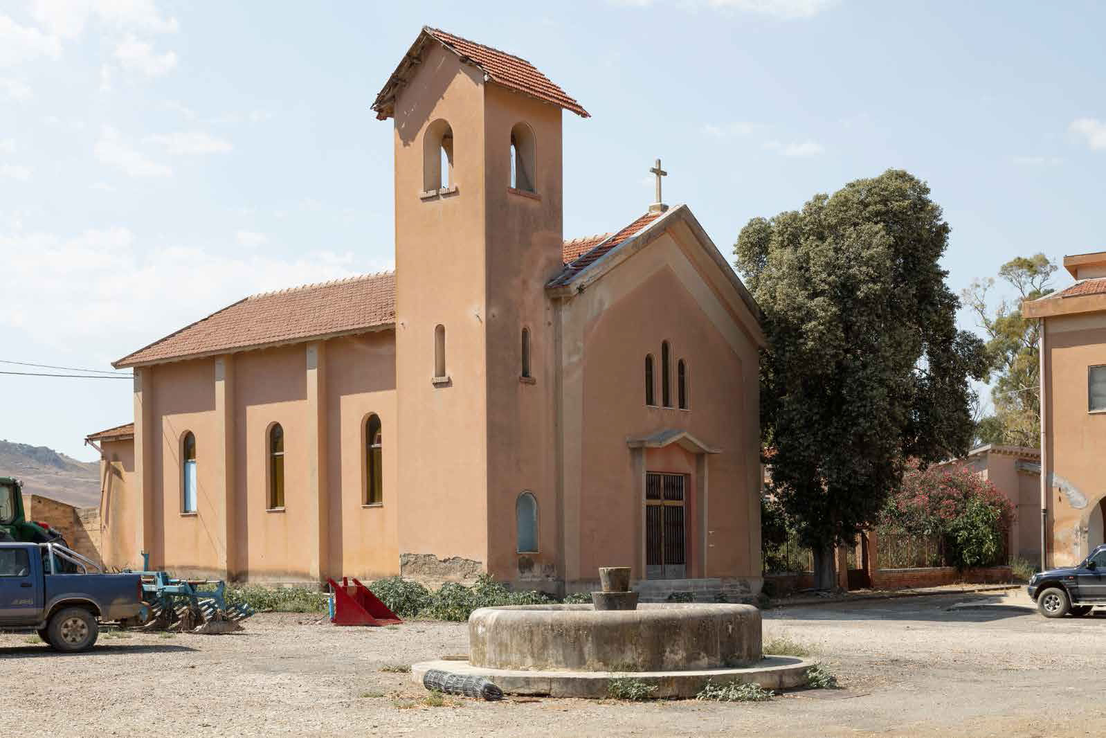
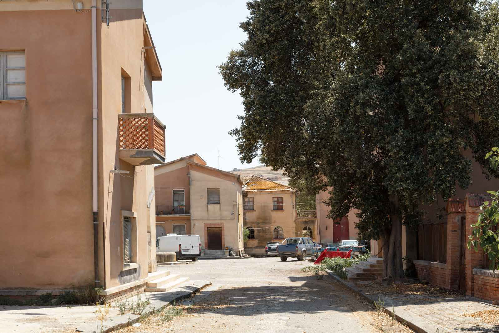
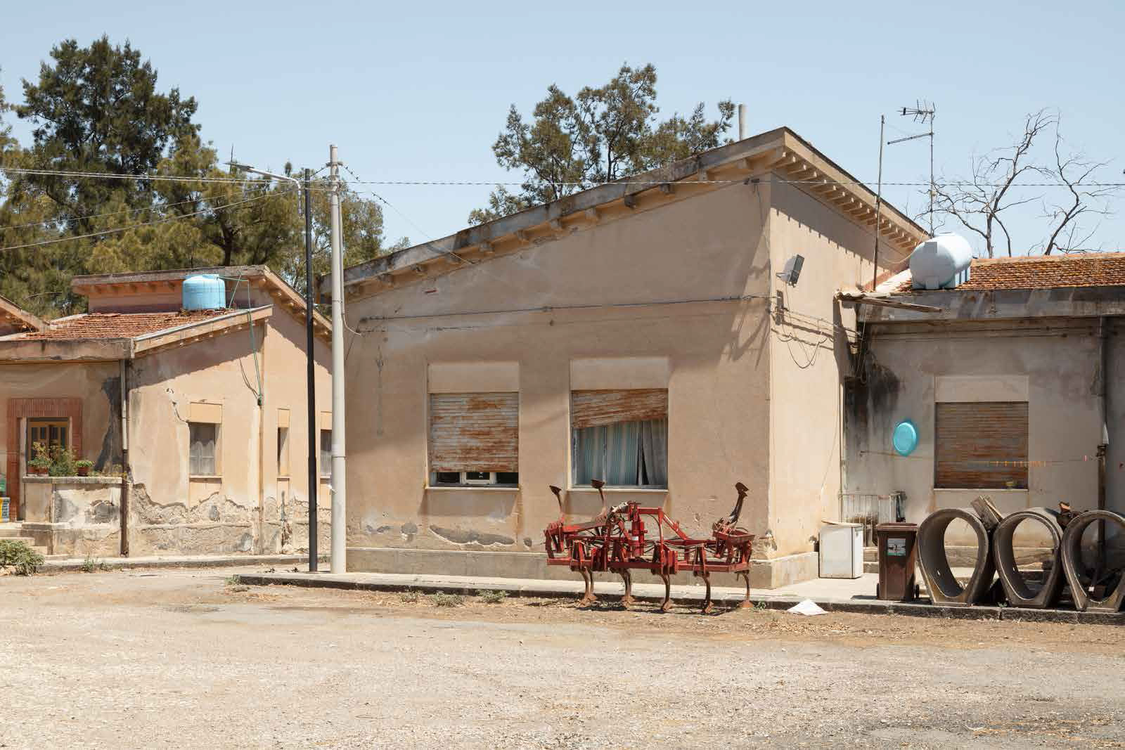
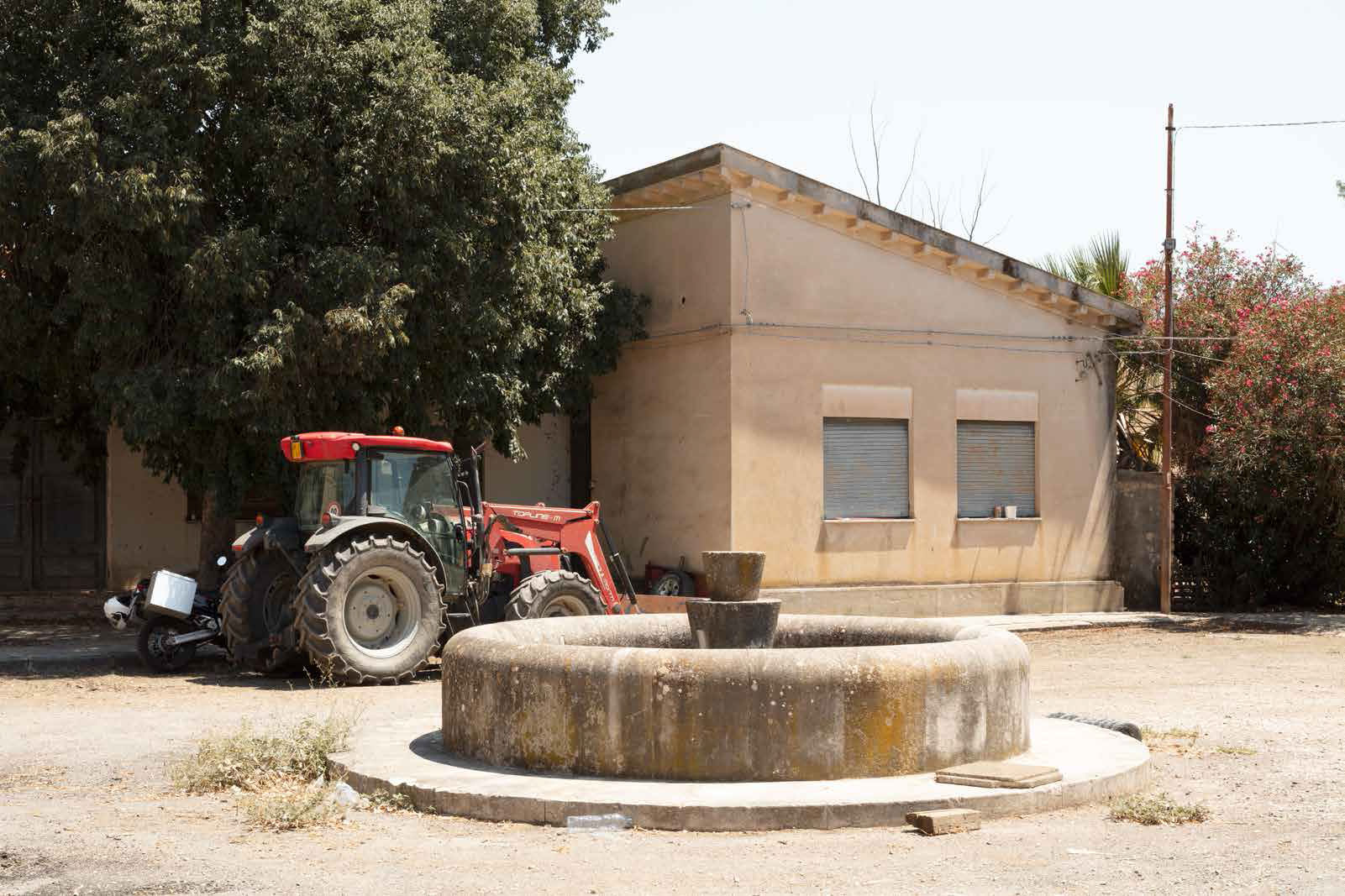
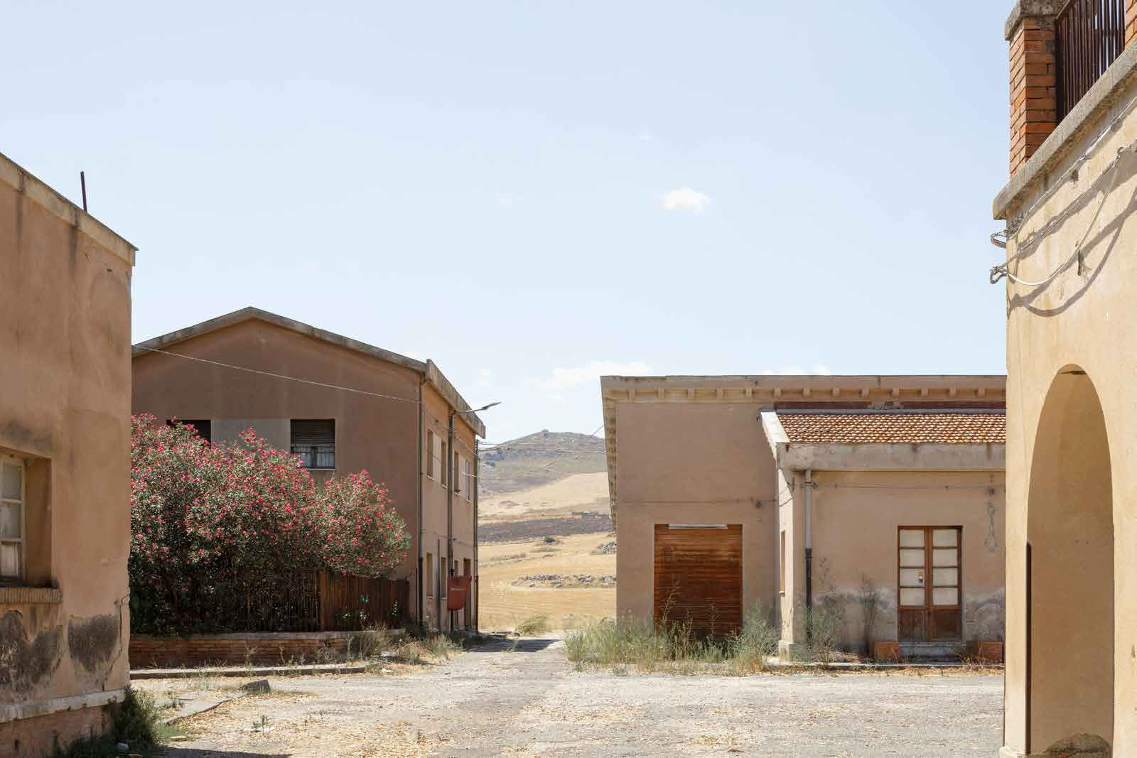
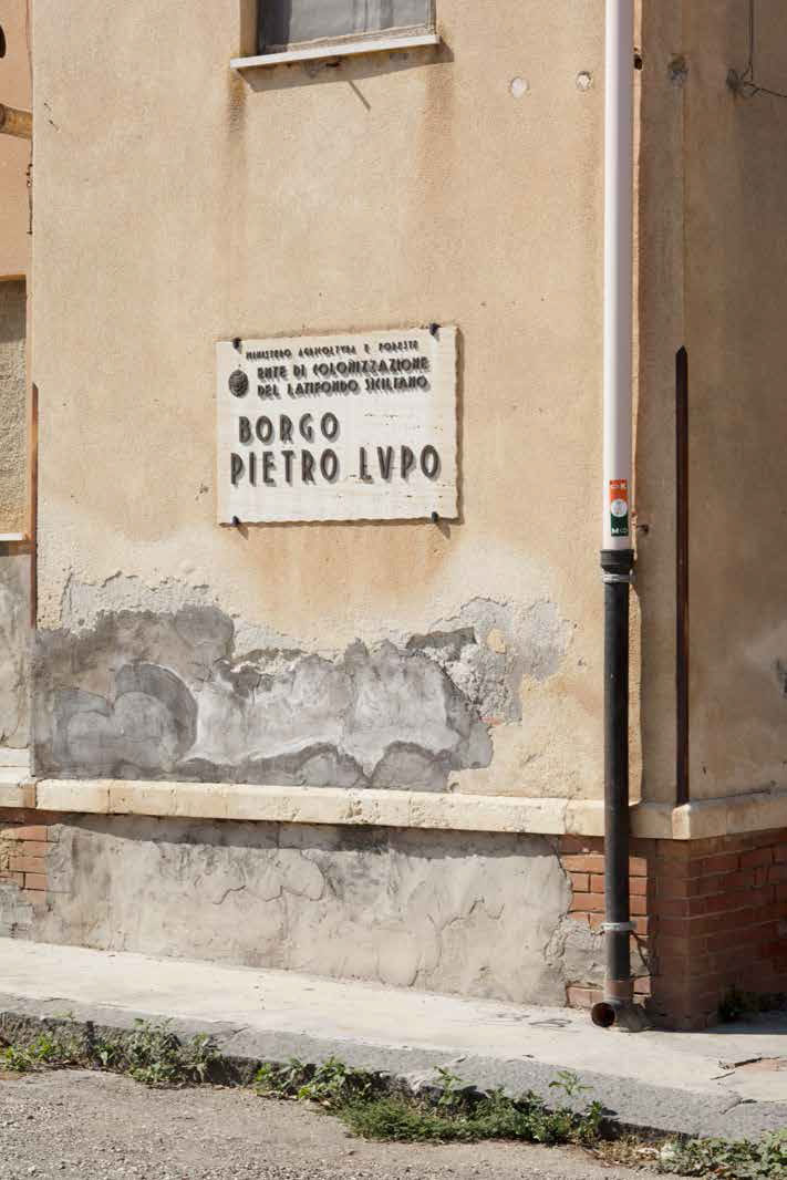
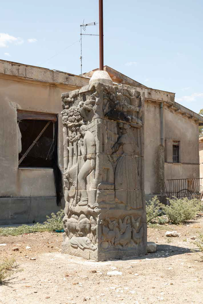
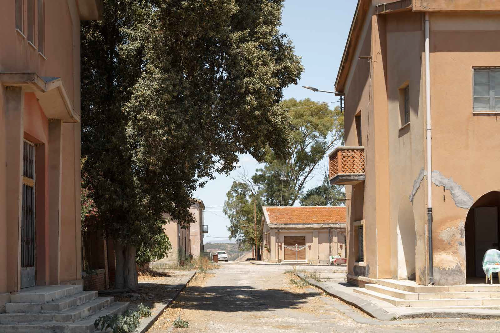
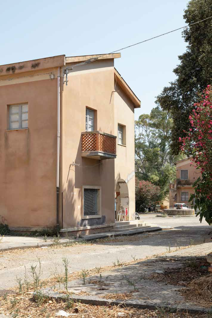
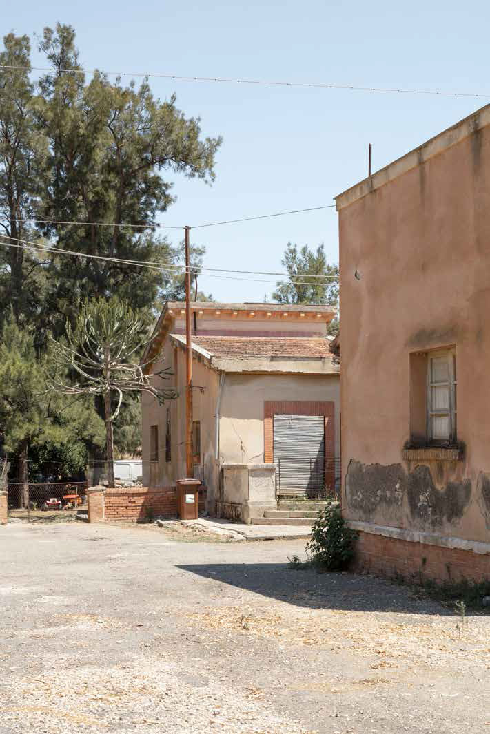
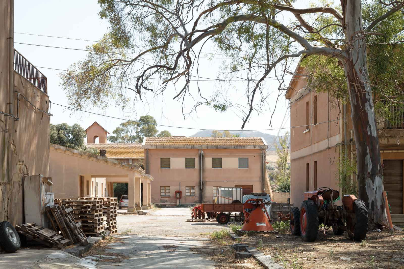
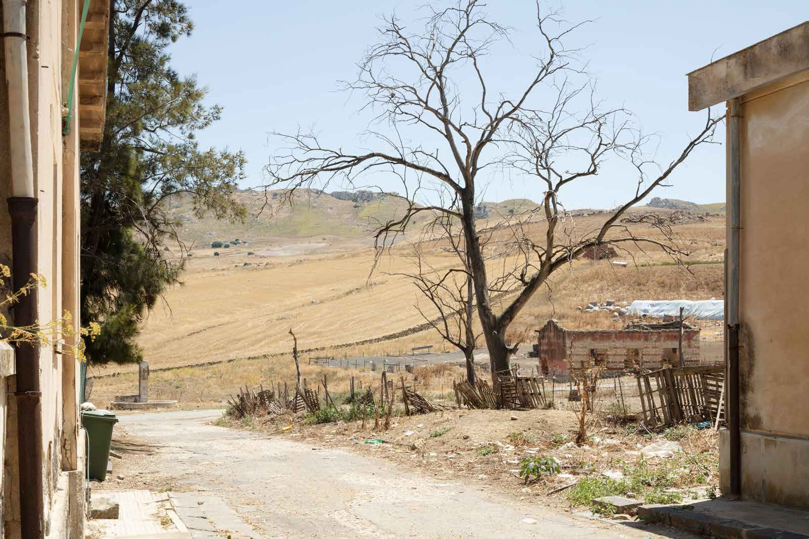
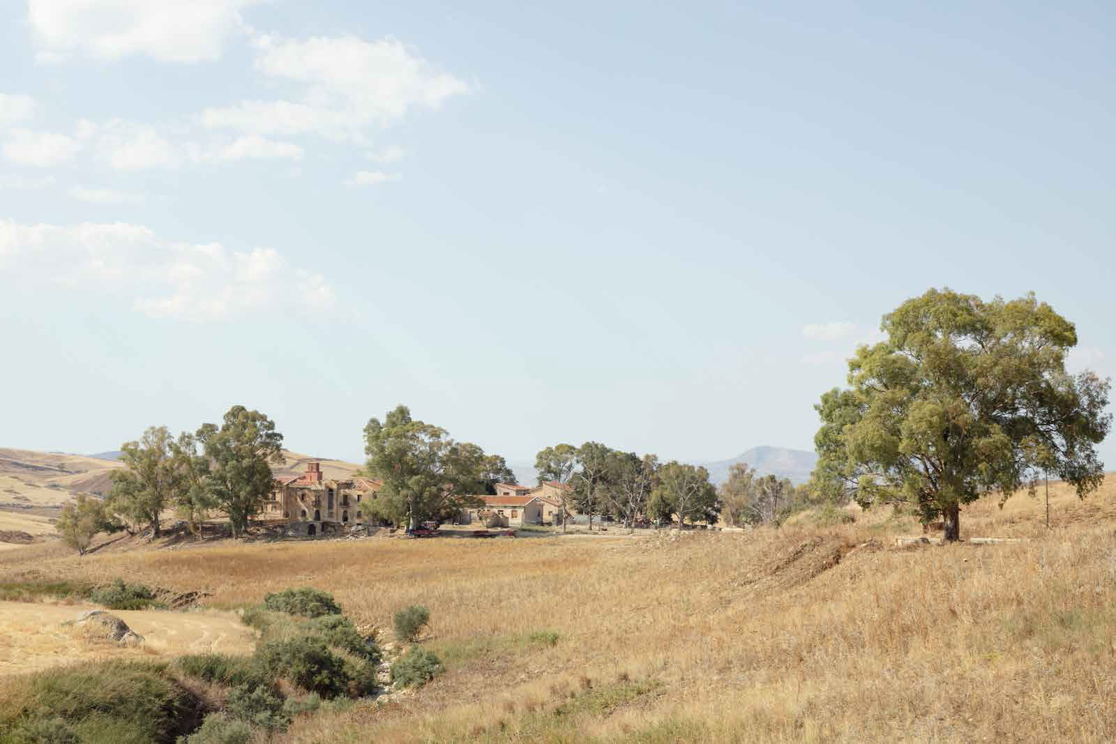
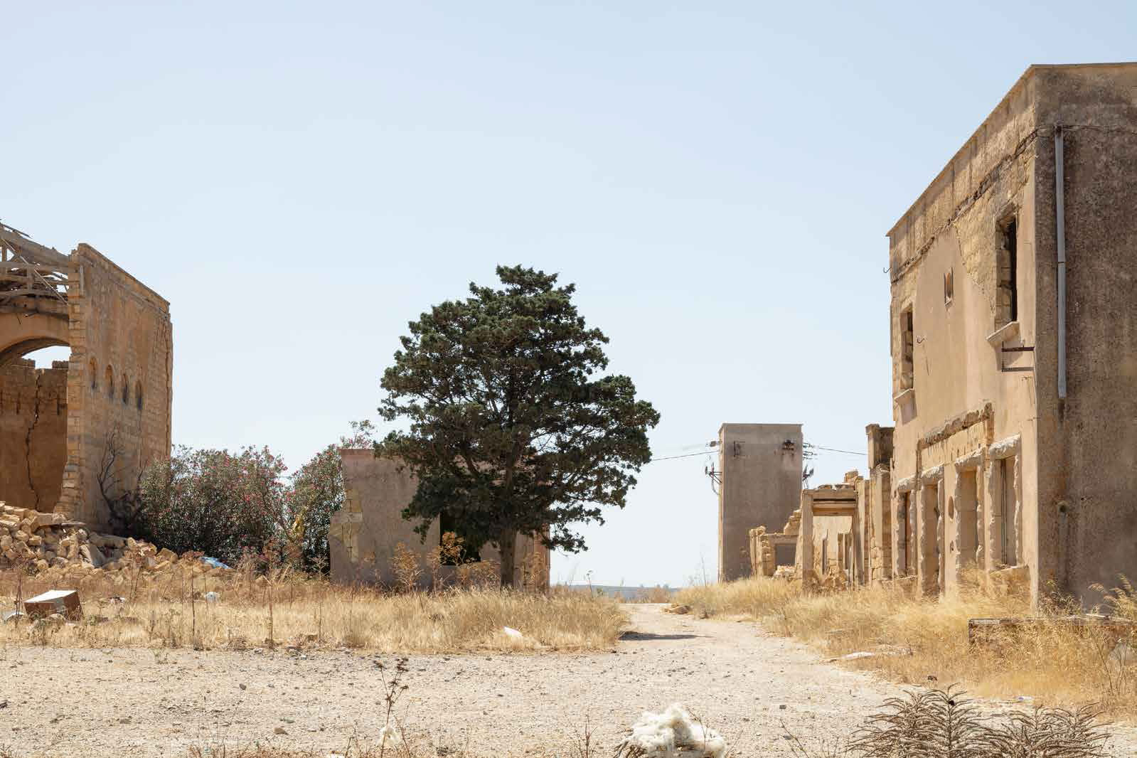
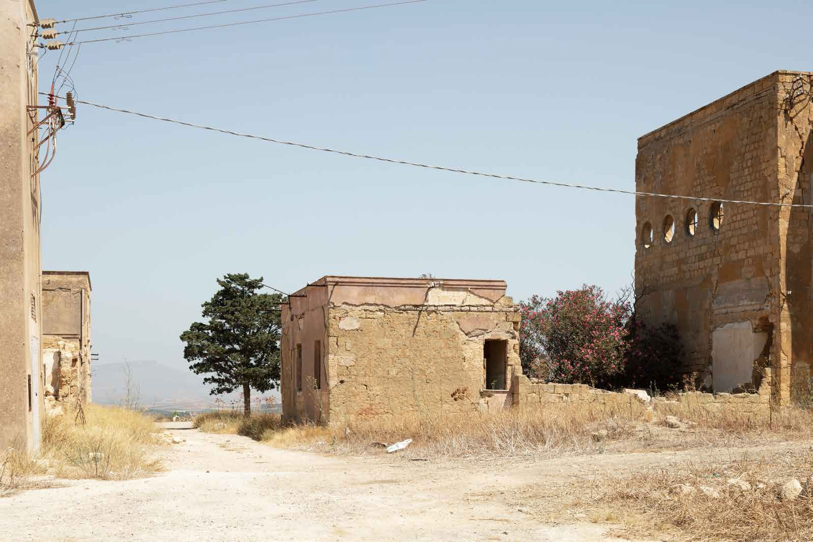
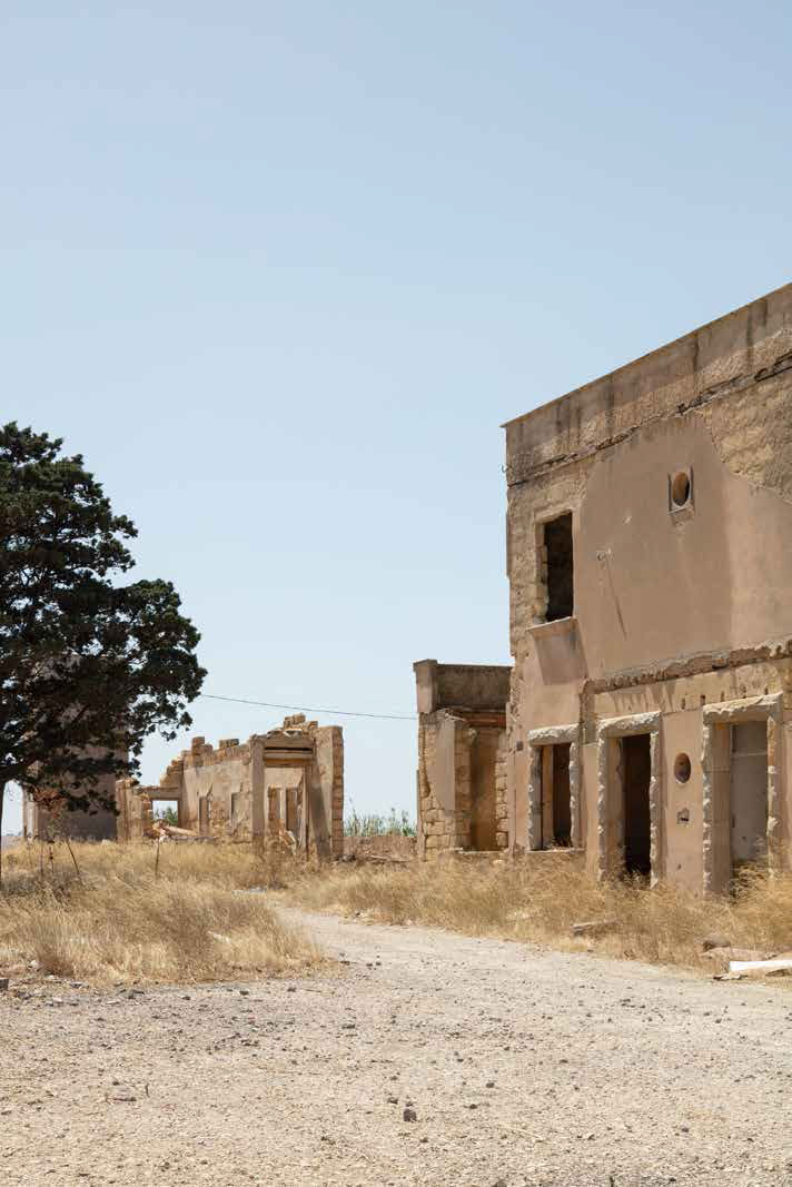
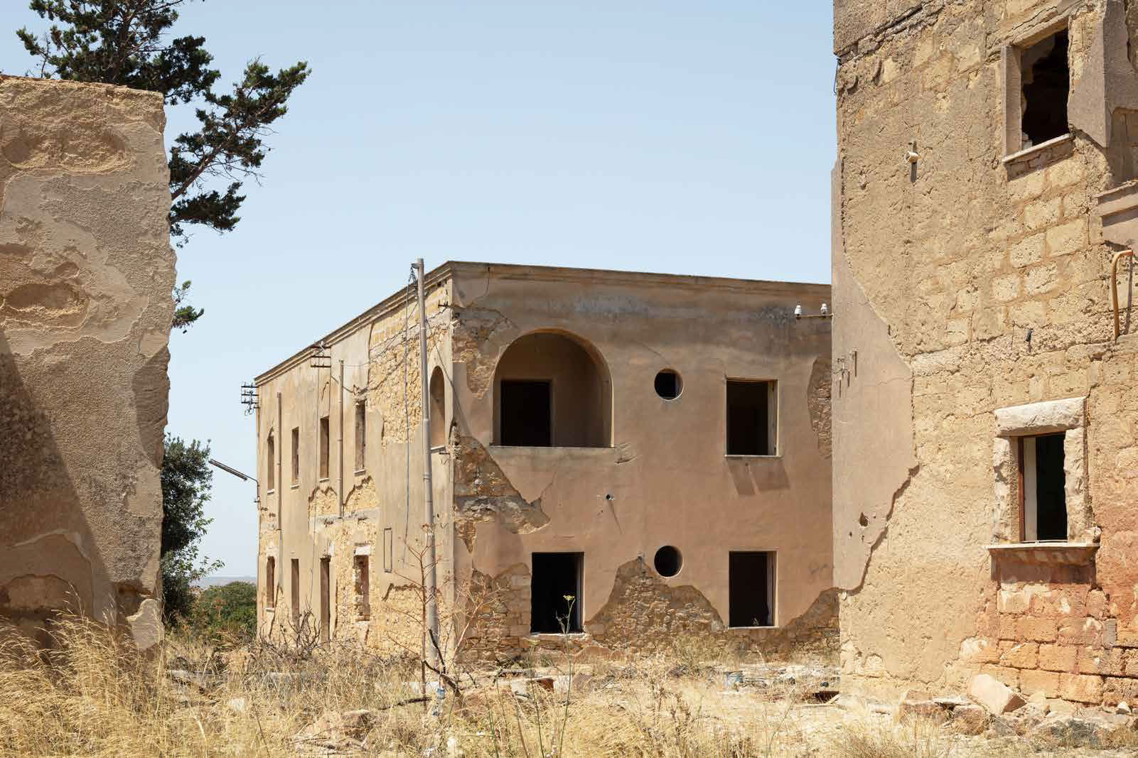
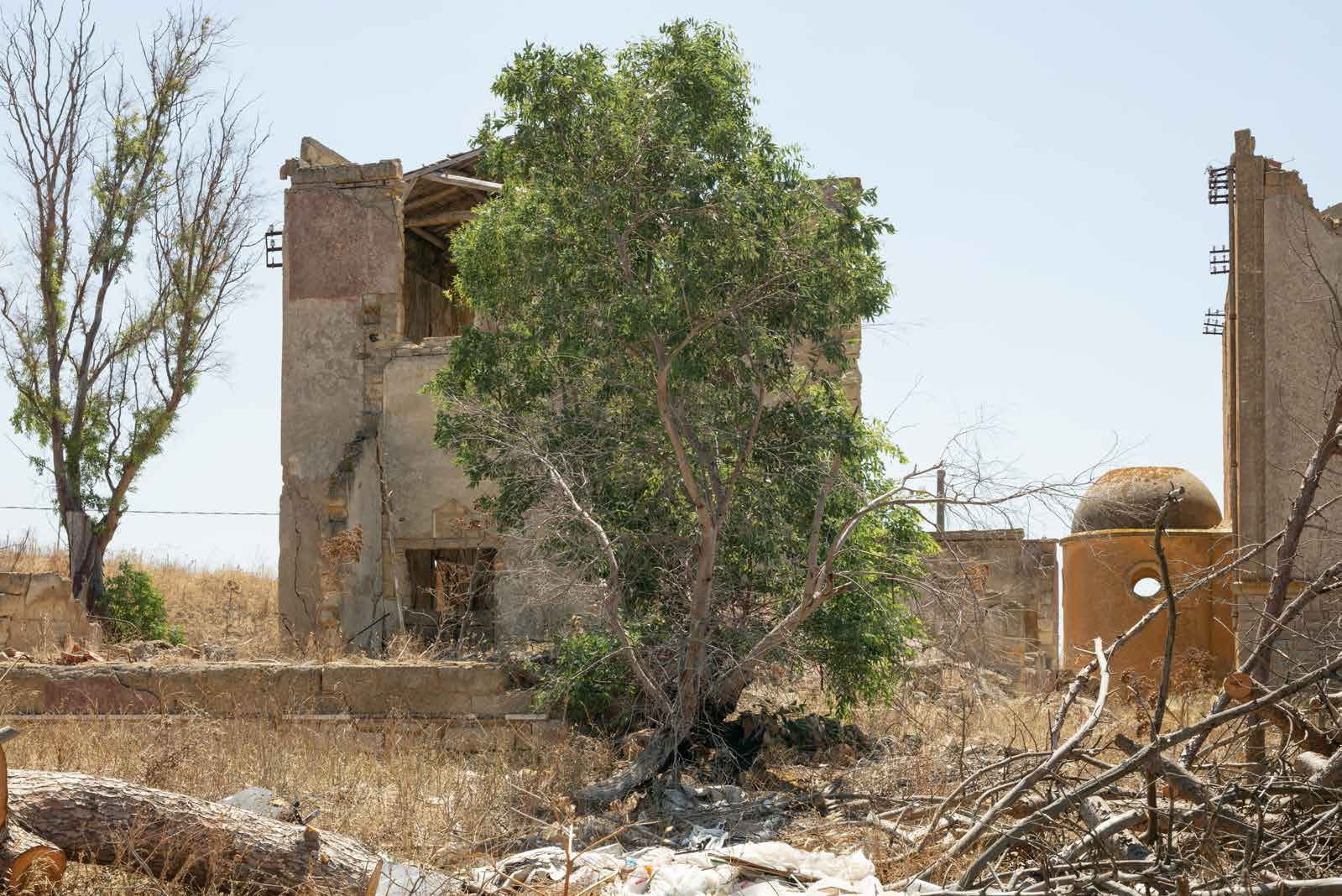
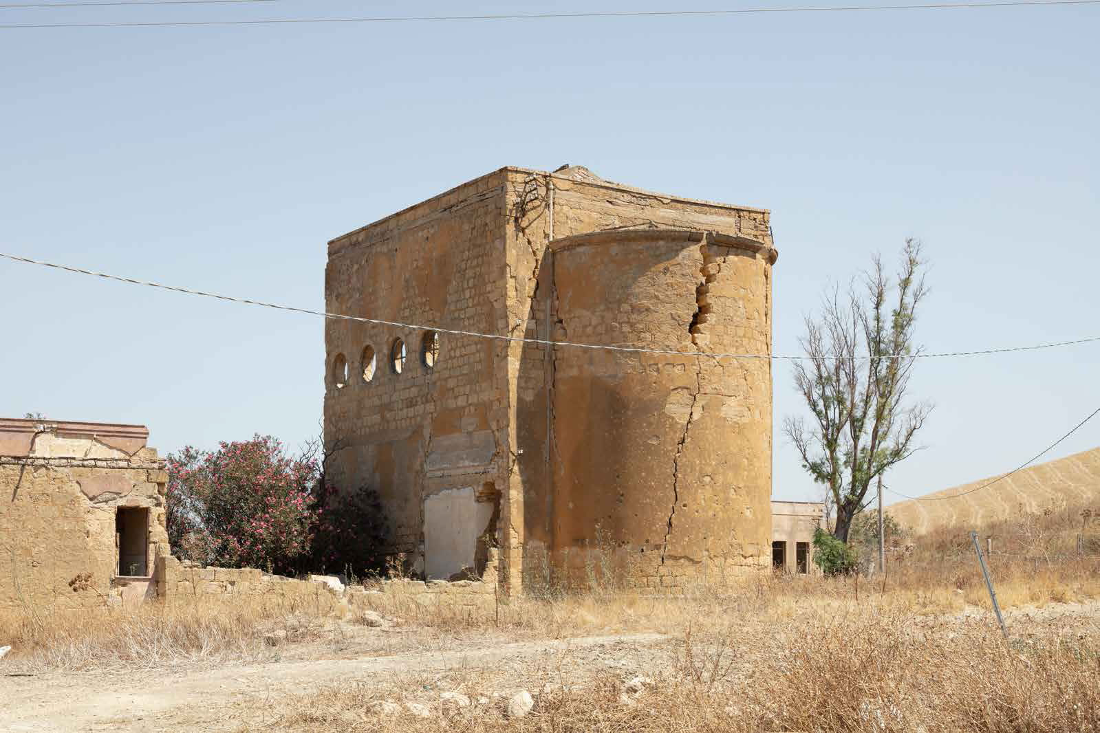
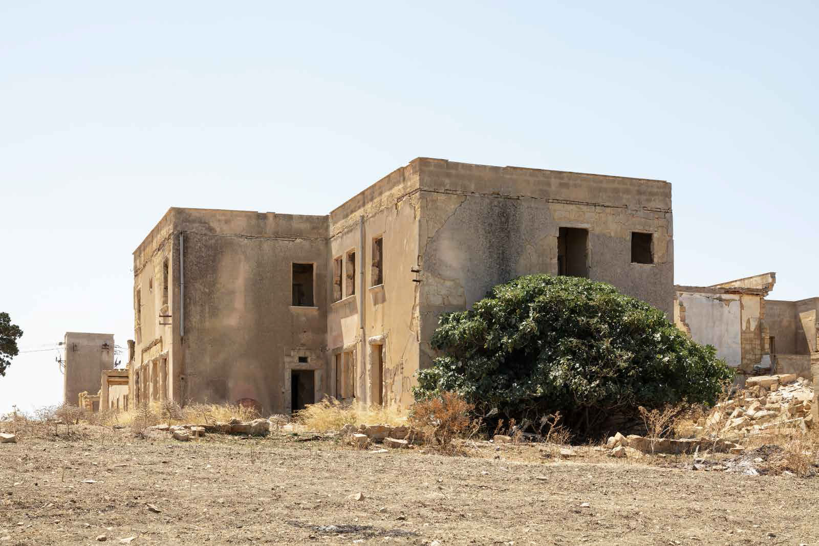
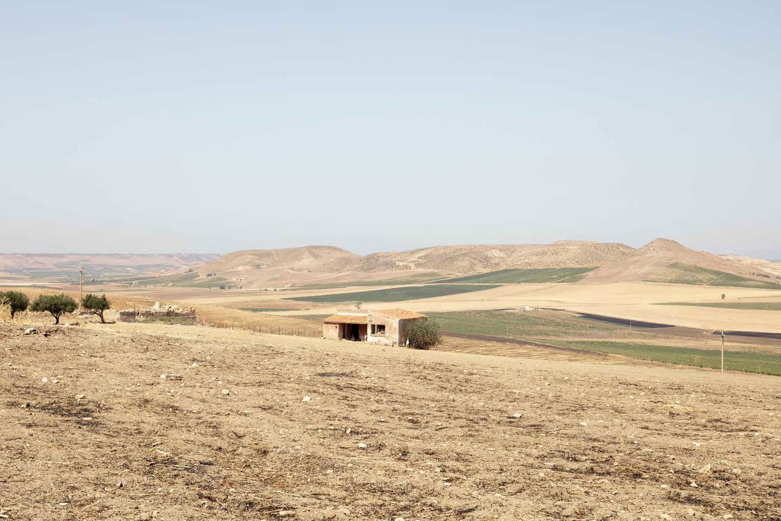
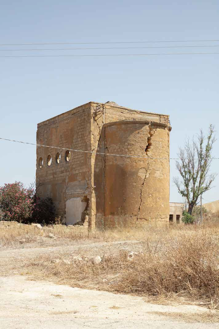
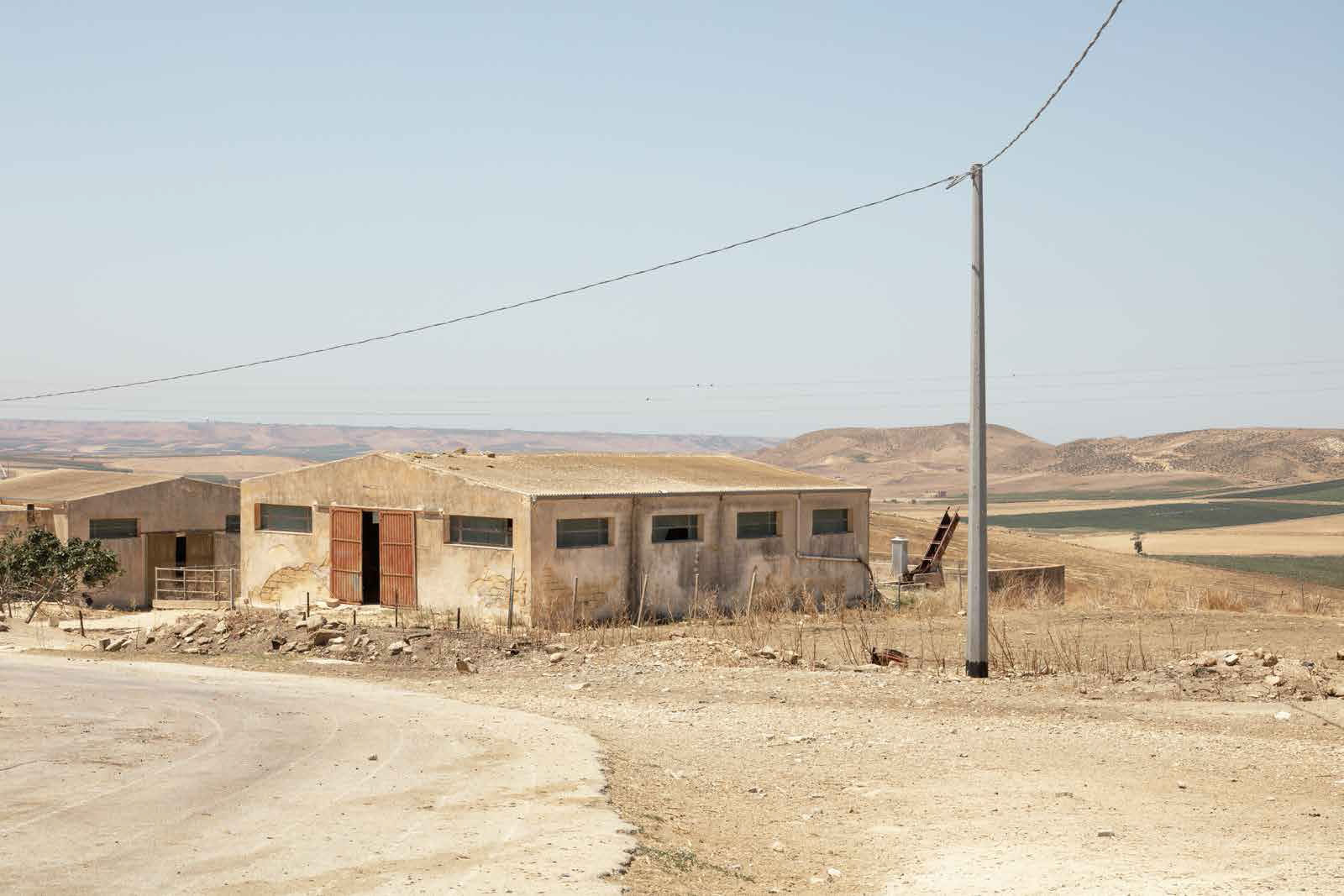
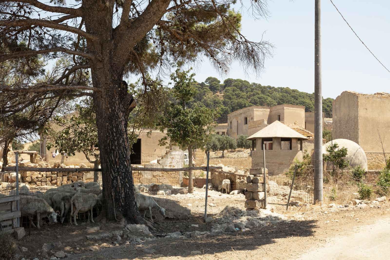
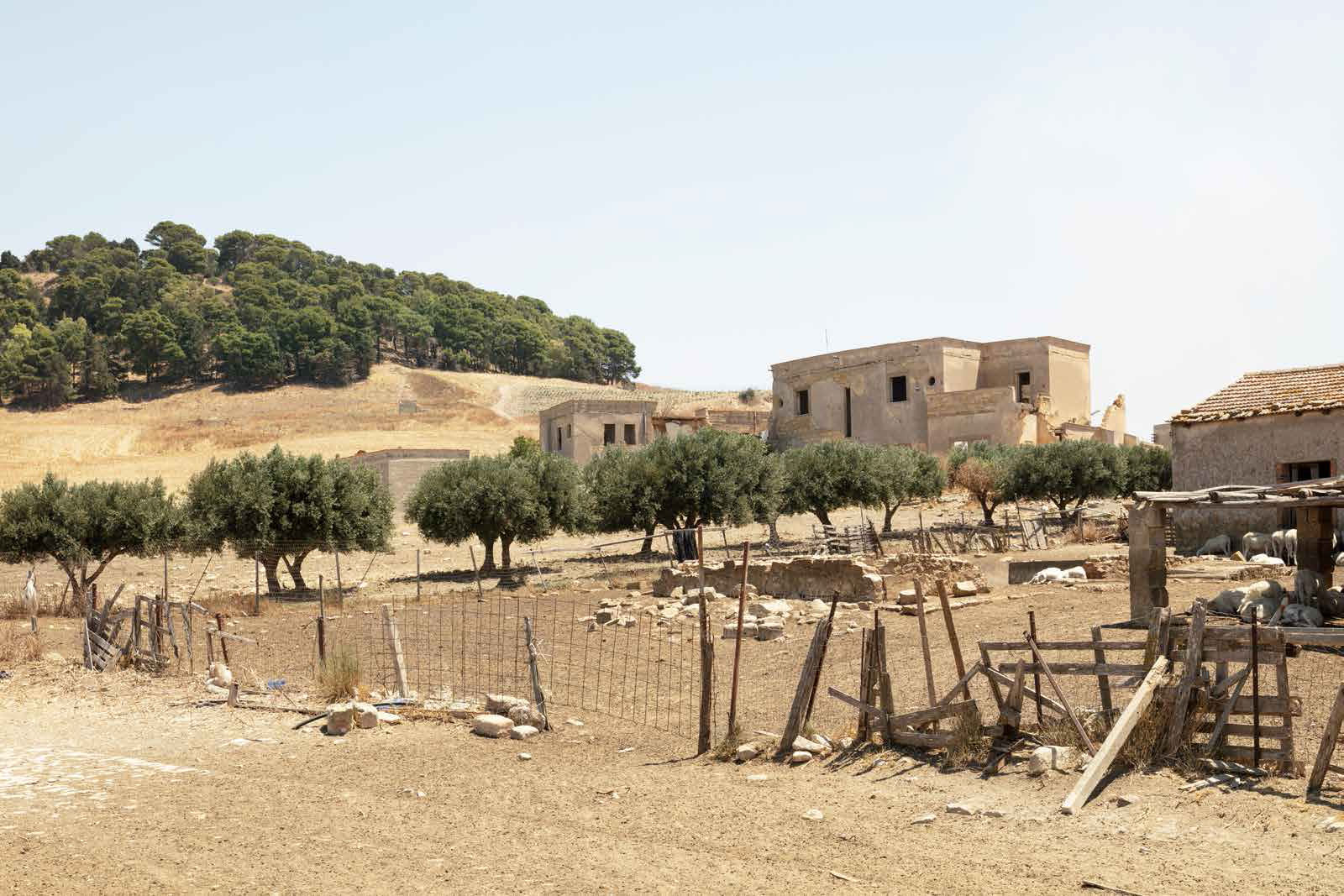
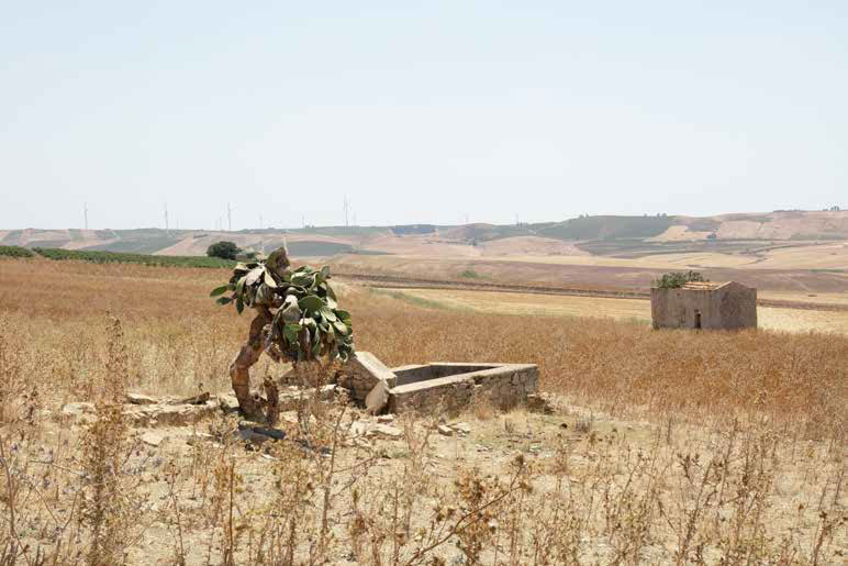
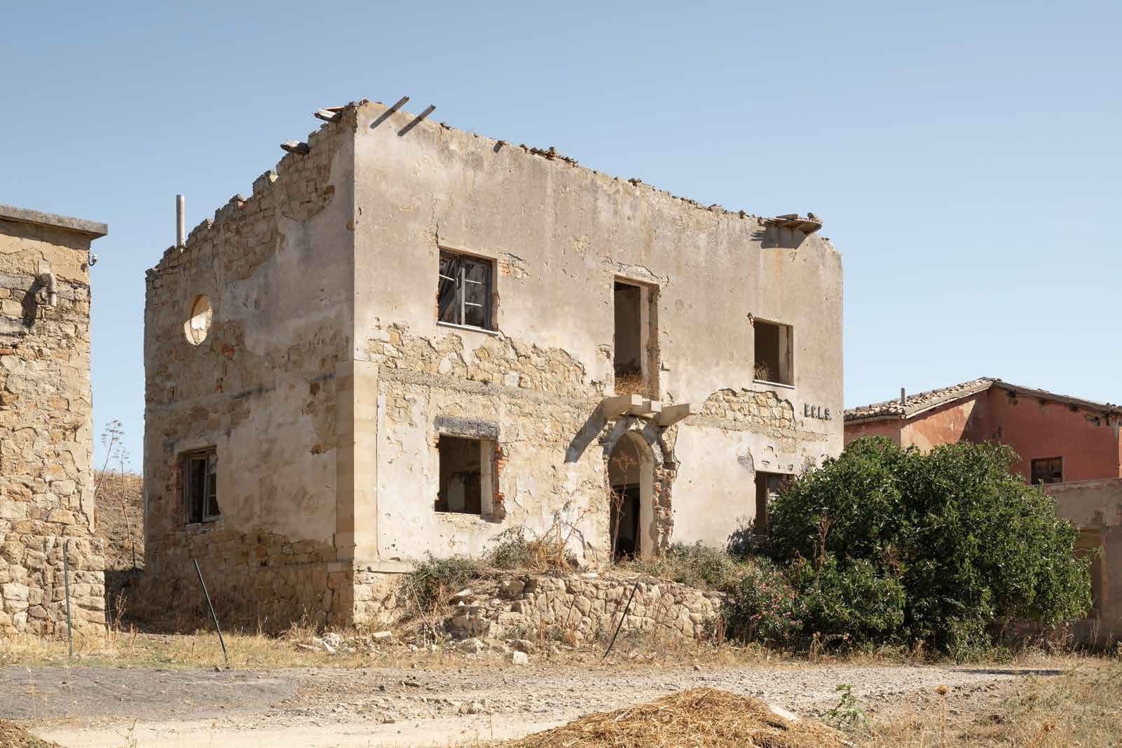
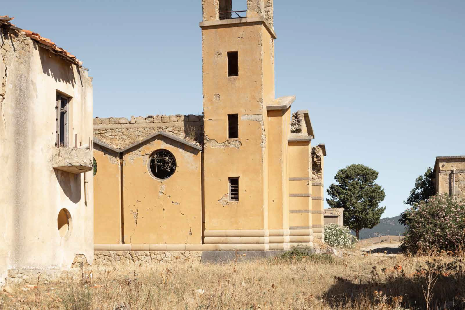
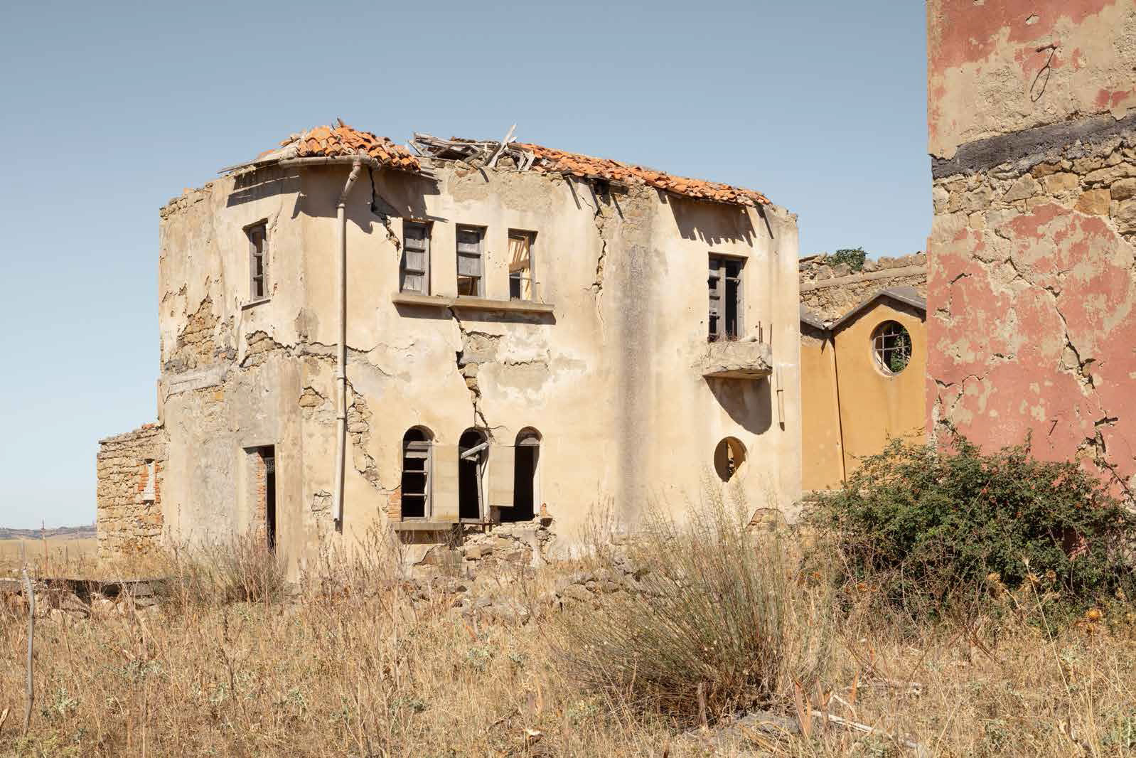
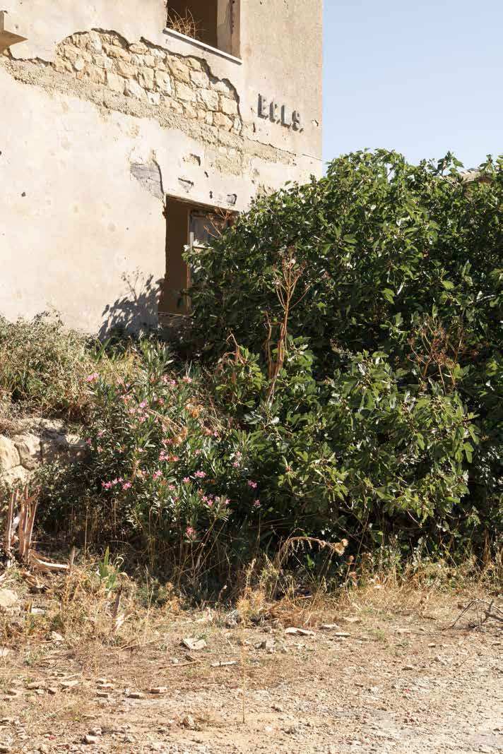
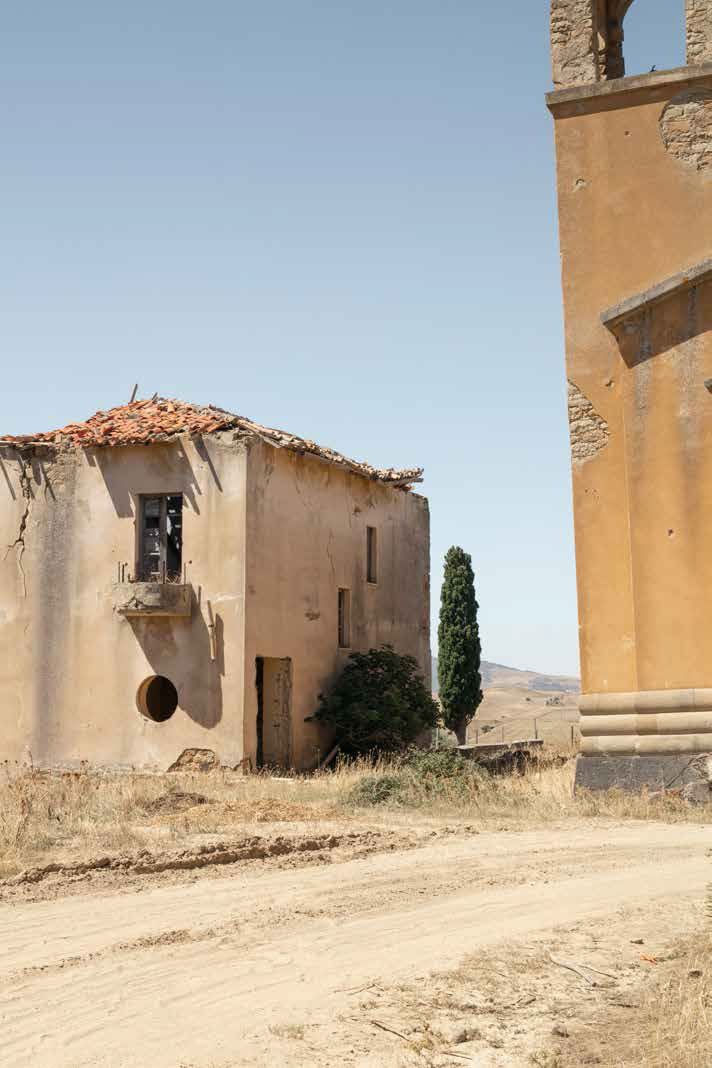
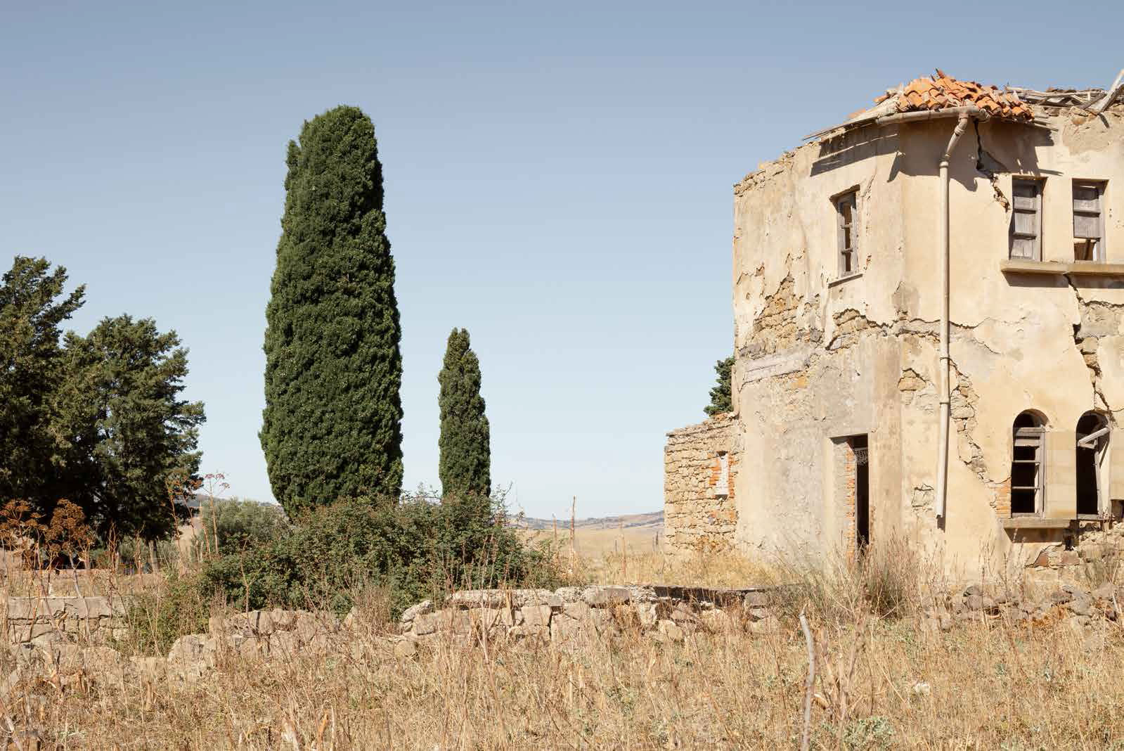
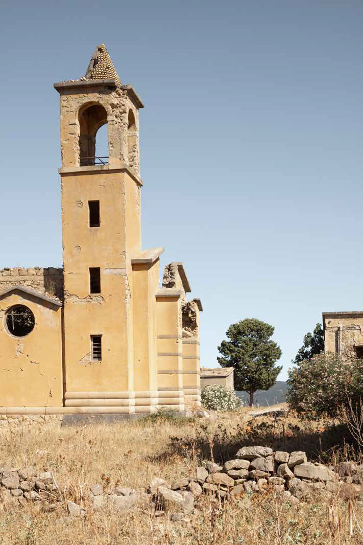
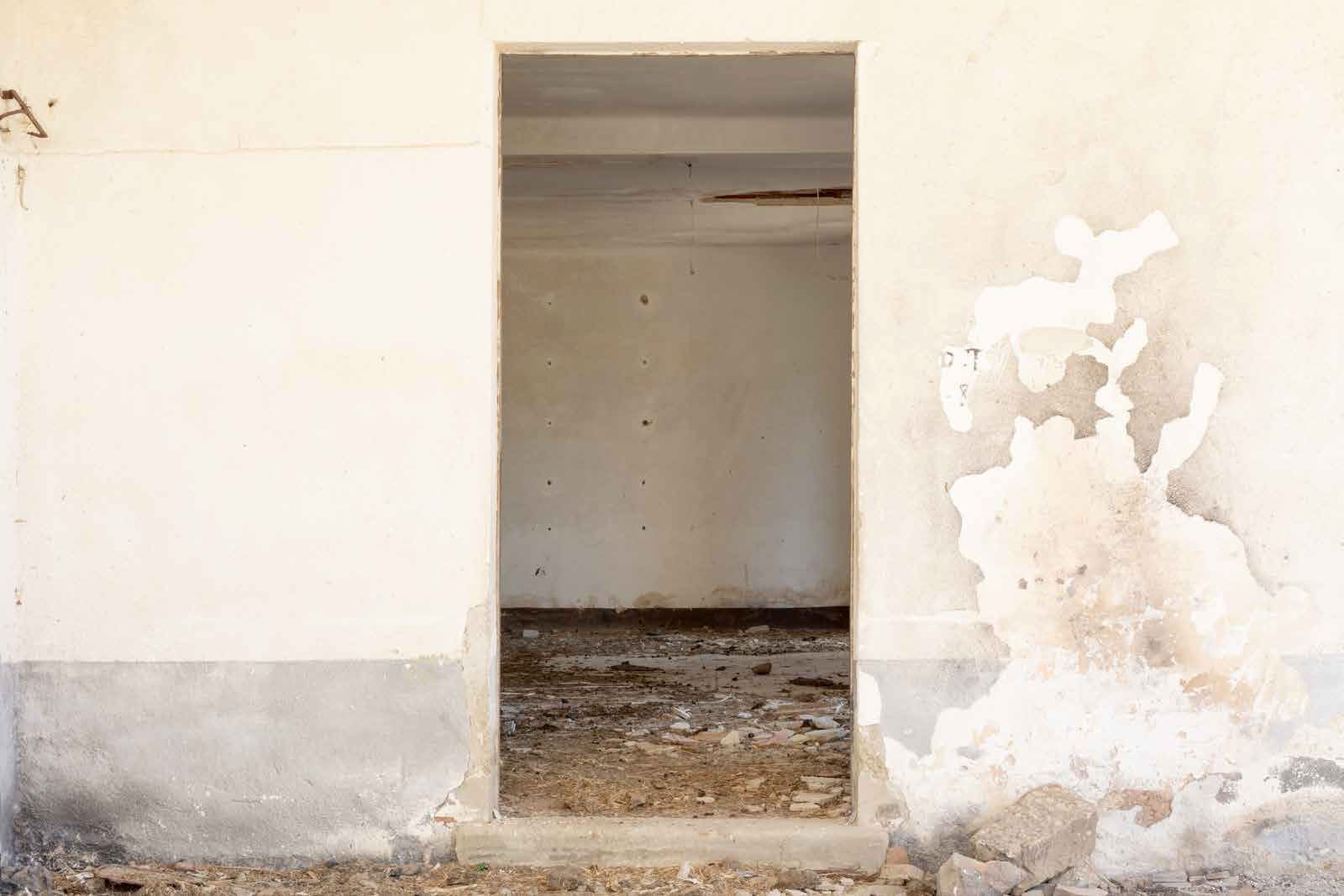
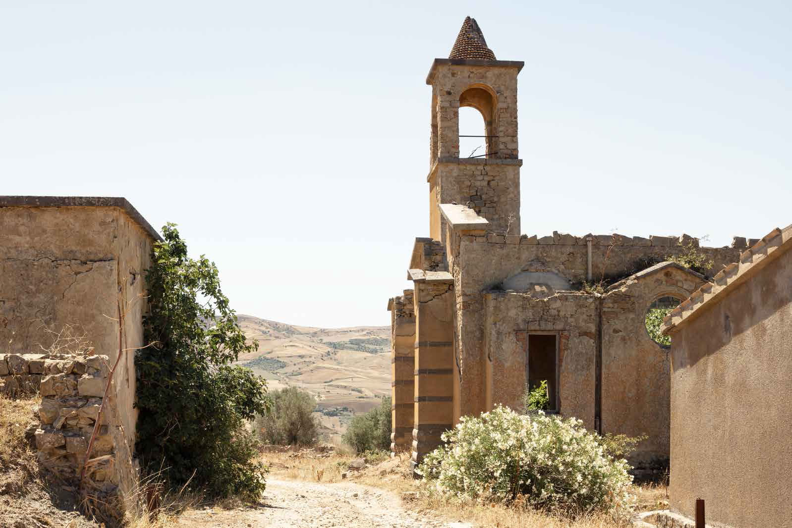
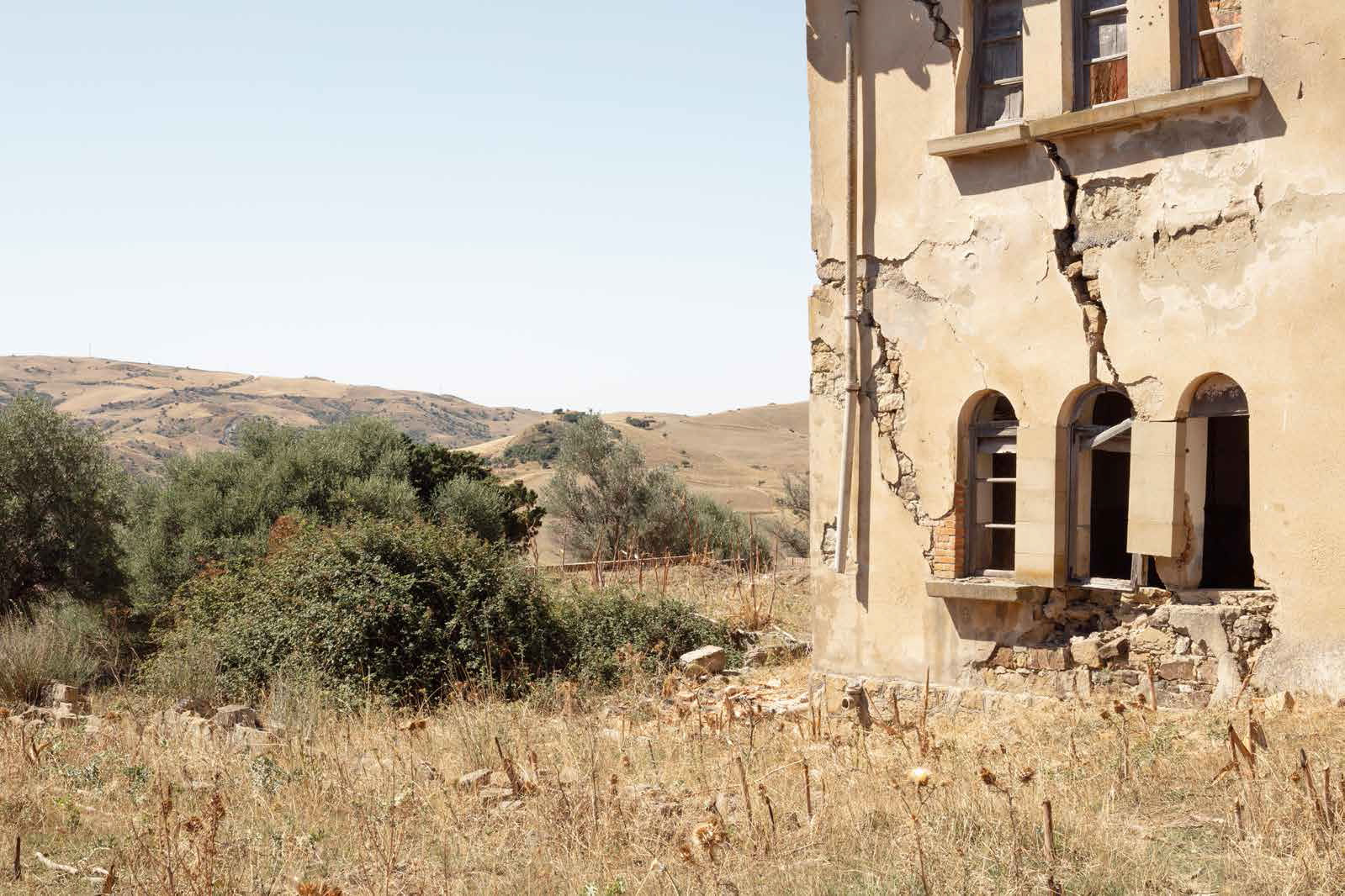
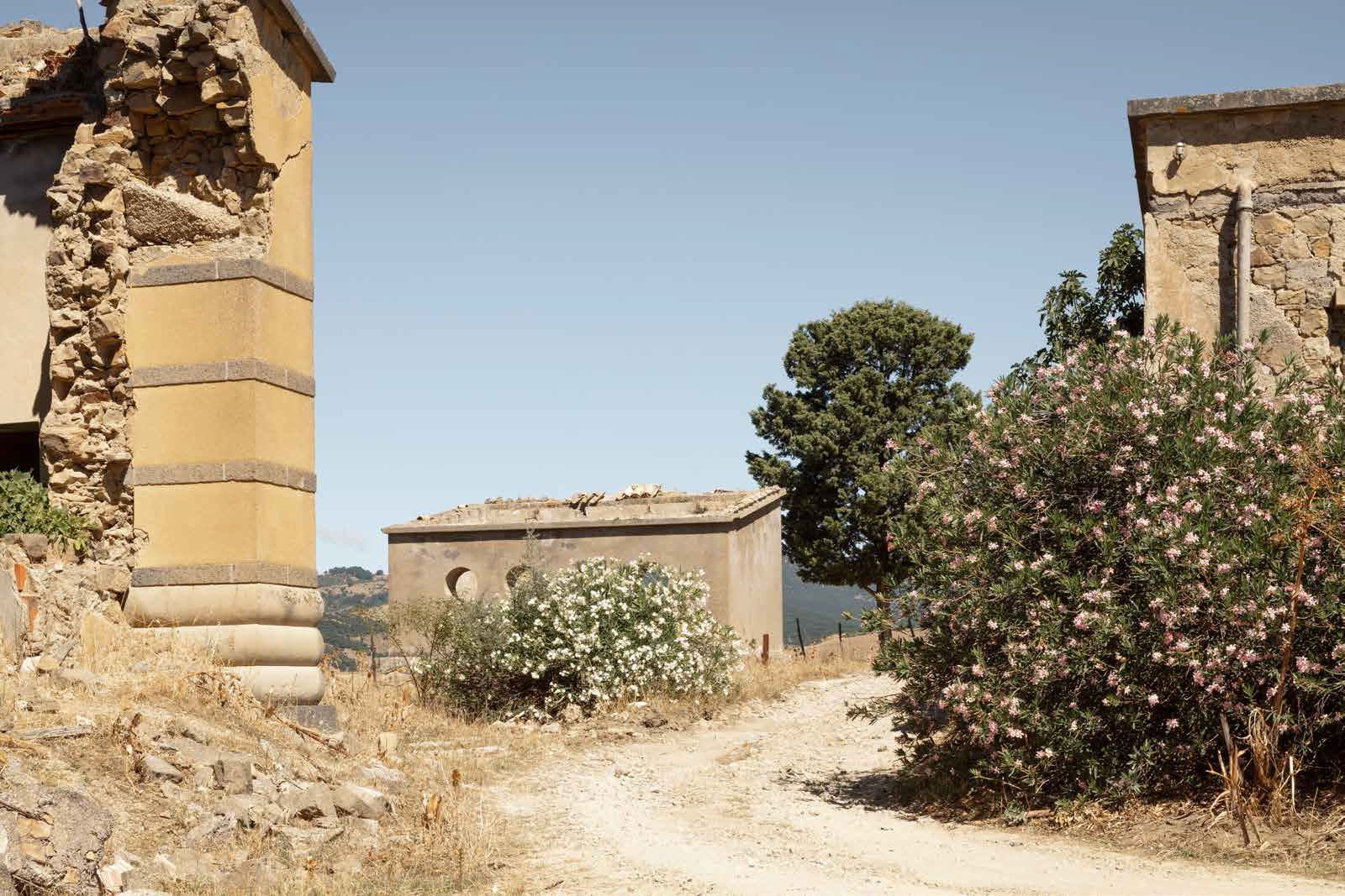
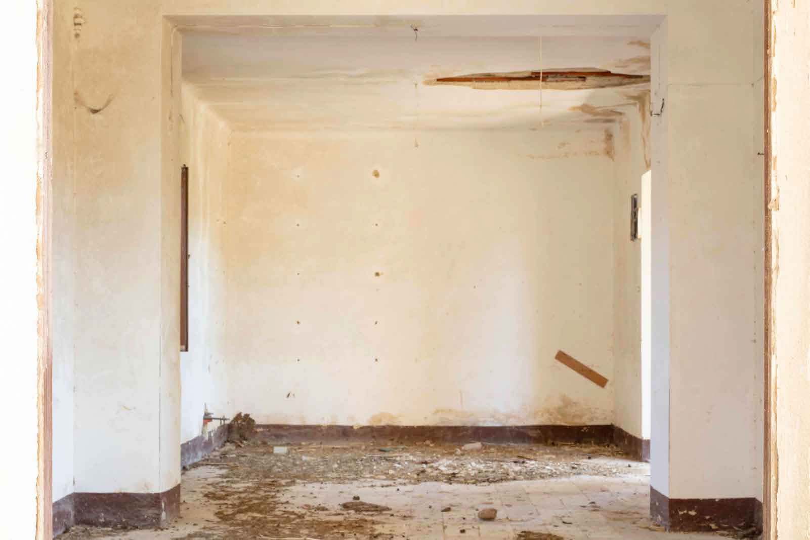
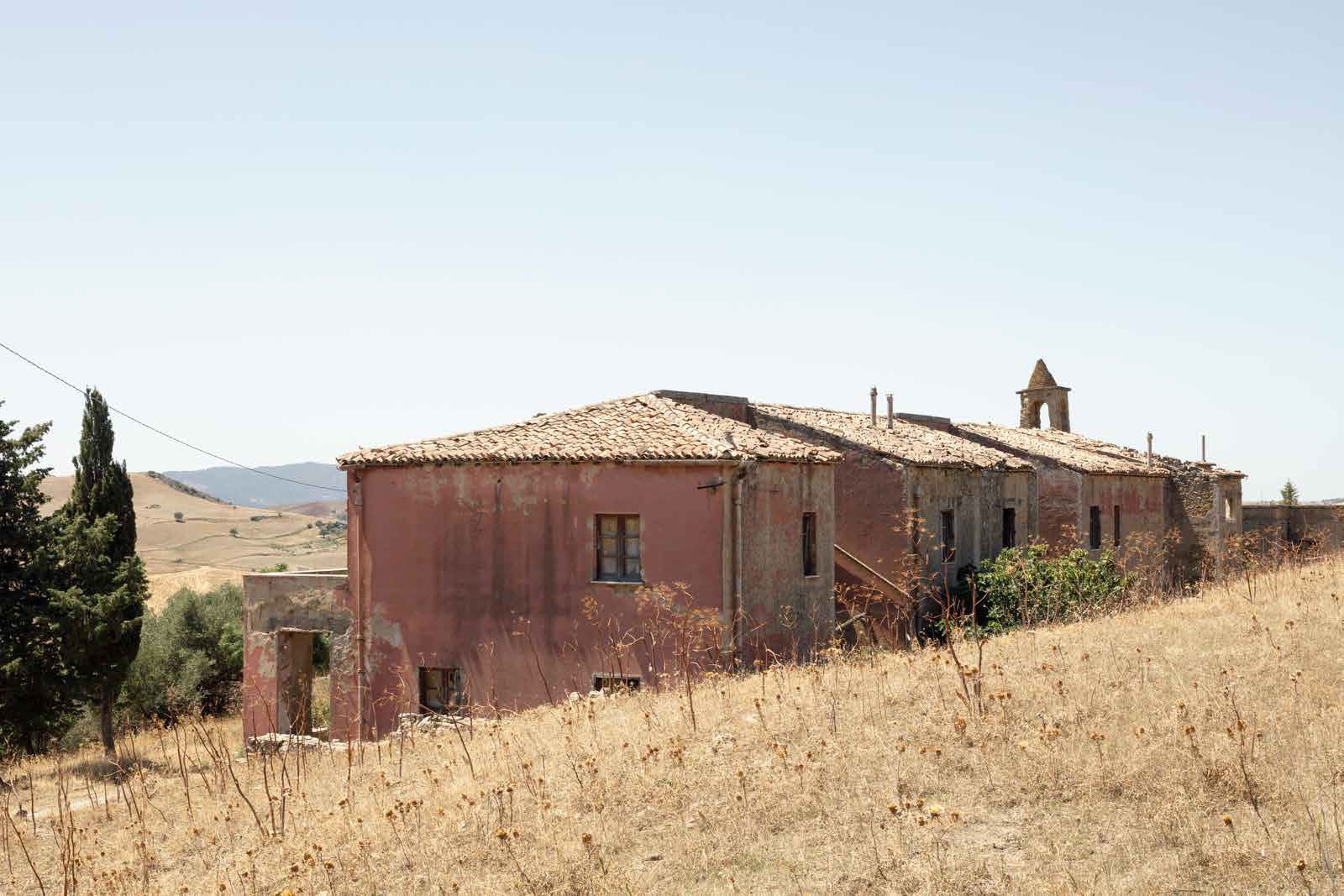
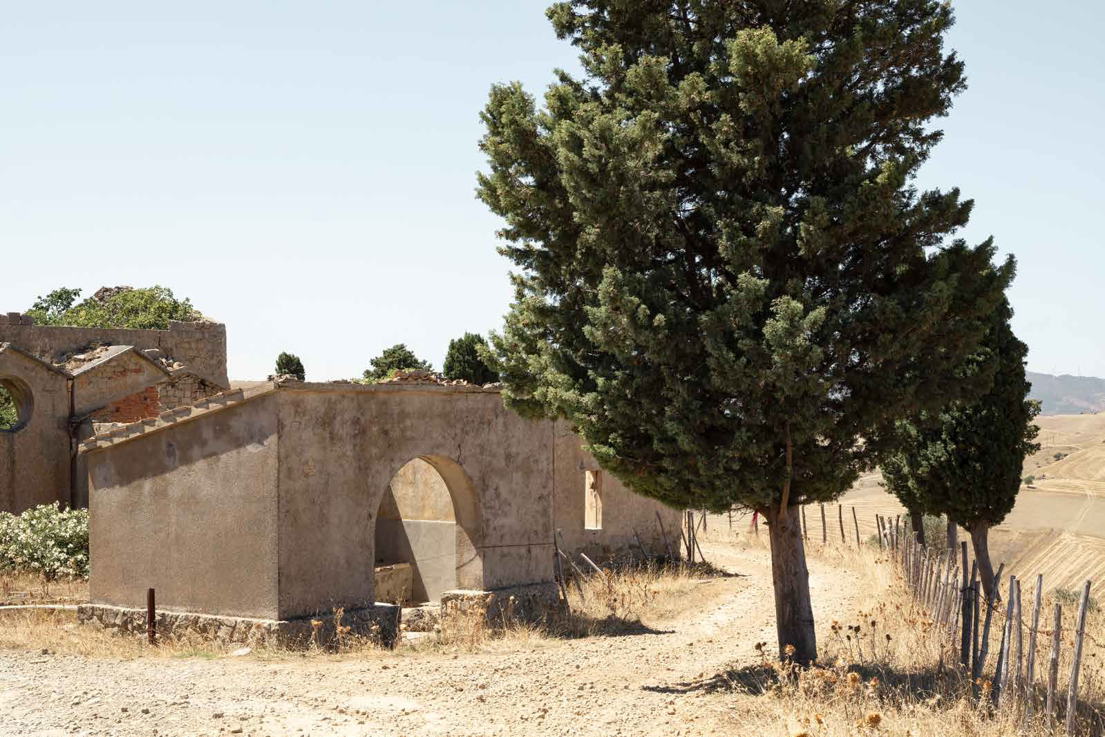
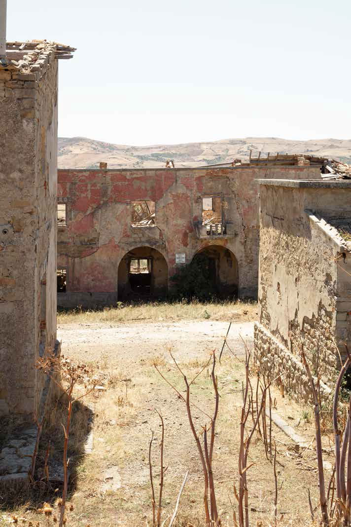
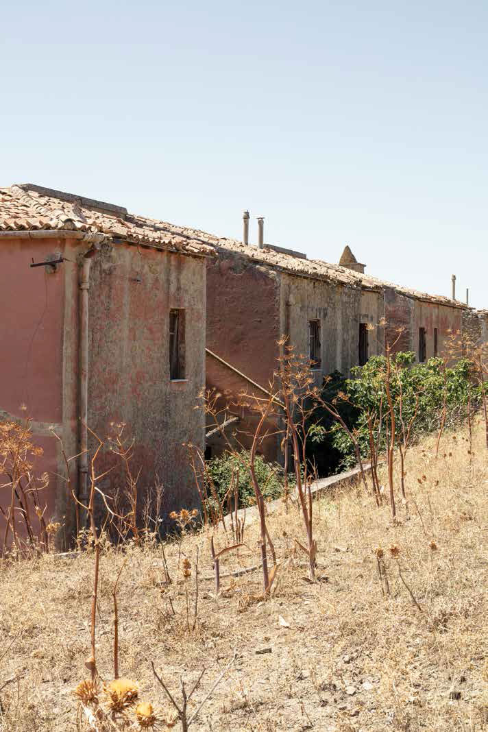
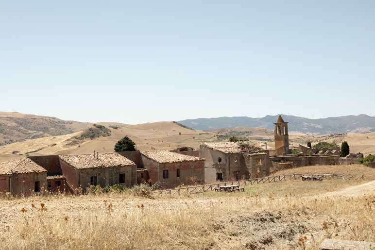
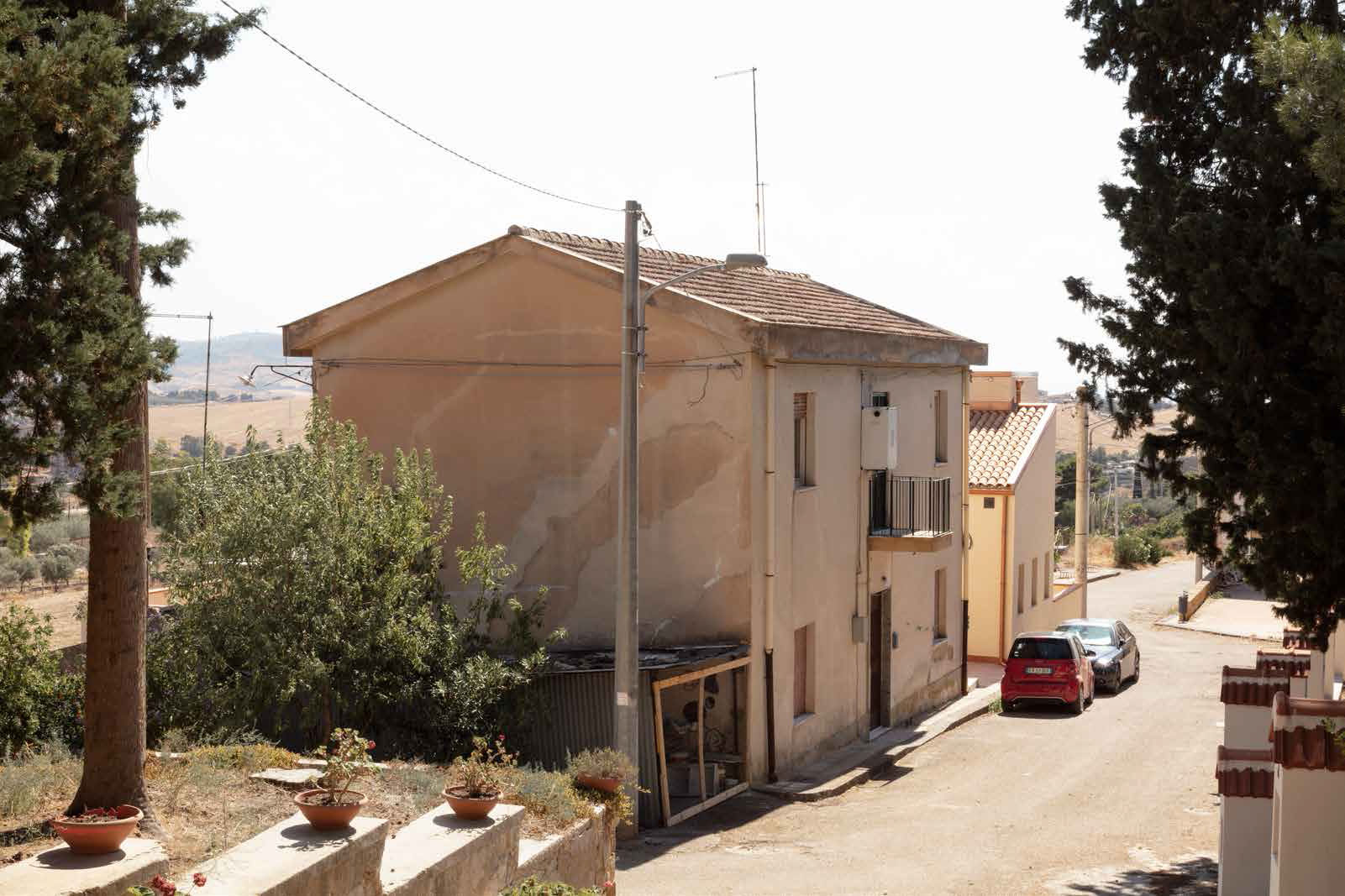
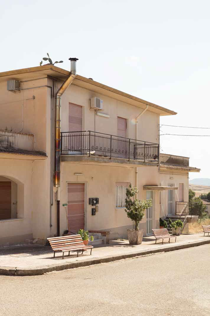
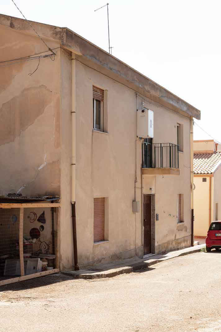
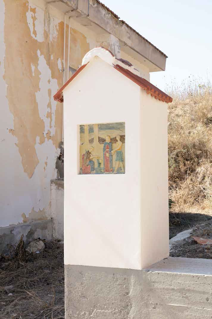
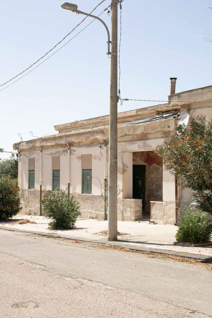
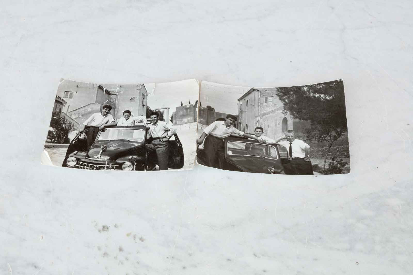
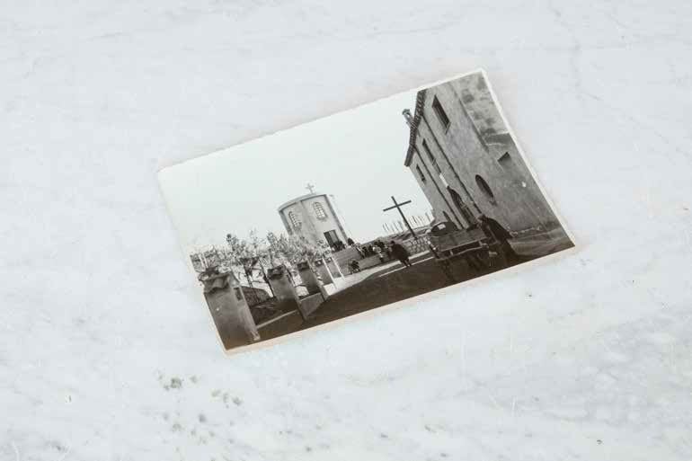
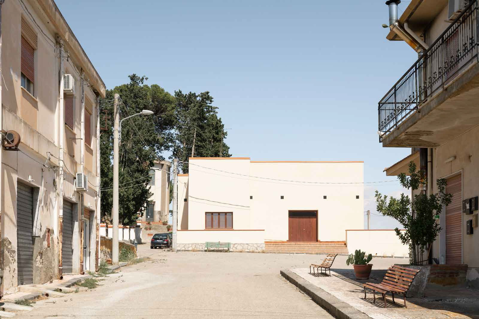
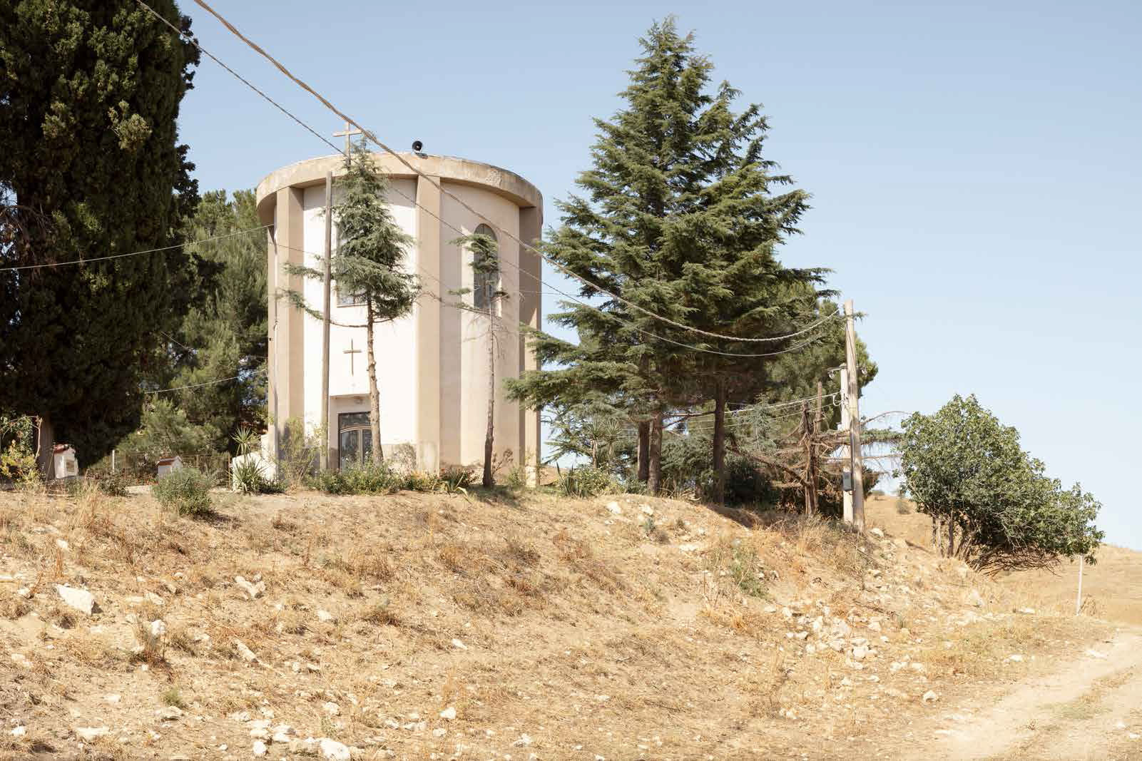
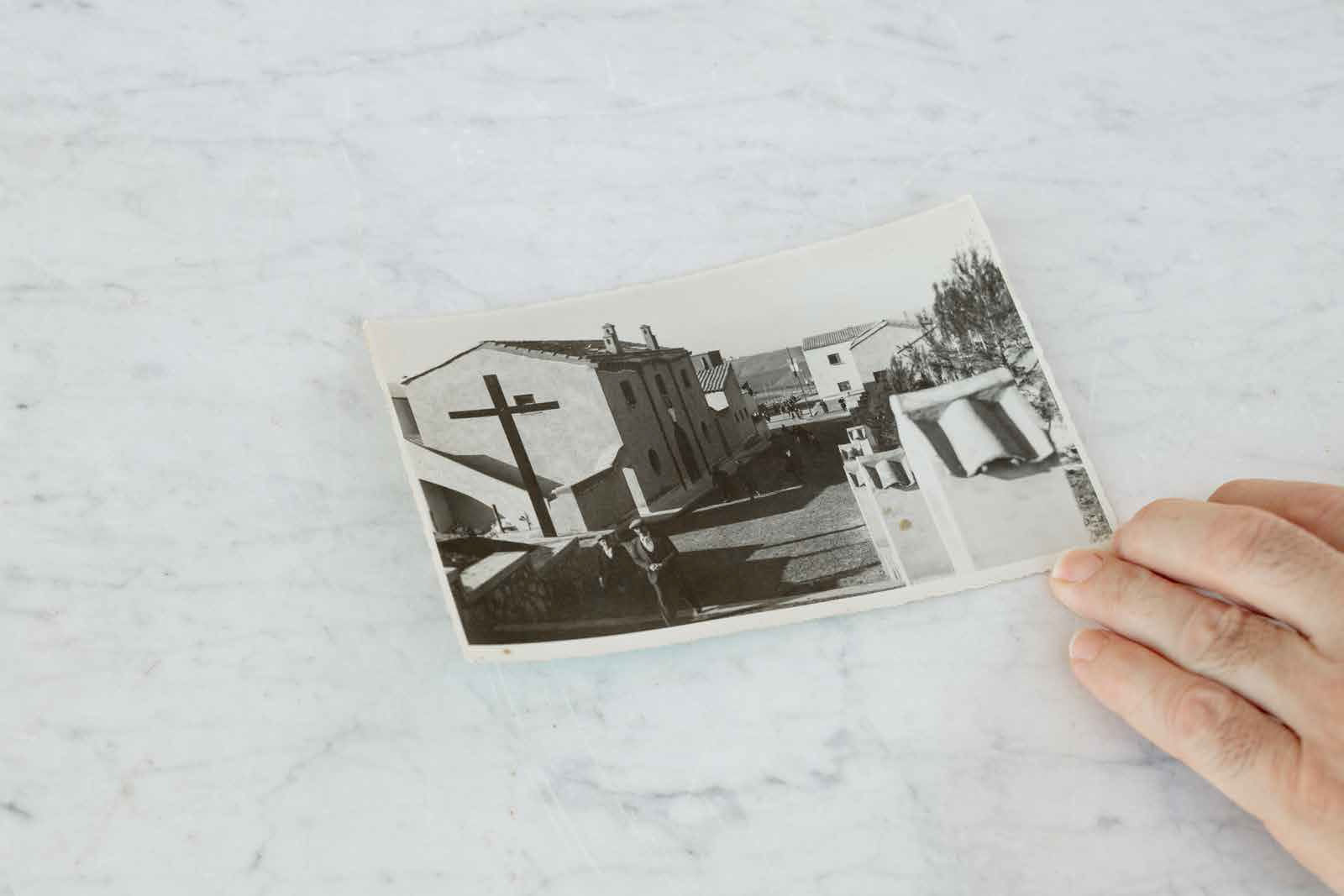
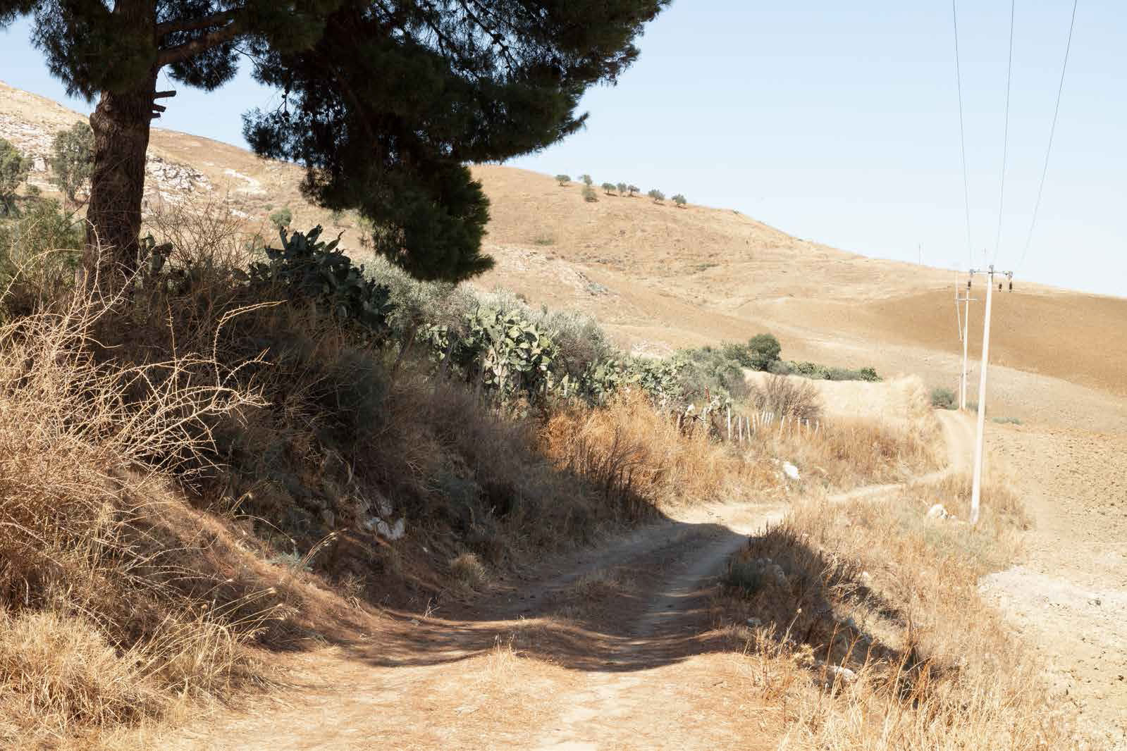
 In 1940, the Fascist regime established the “Entity of Colonization of Sicilian Latifundia / Ente di Colonizzazione del Latifondo Siciliano” following the model of the “Entity of Colonization of Libya” and colonial architecture in Eritrea and Ethiopia. These territories were considered by the regime “empty,” “underdeveloped,” and “backward” and therefore in need to be “reclaimed,” “modernized,” and “repopulated.” For this purpose, the “Entity of Colonization” inaugurated in Sicily eight new rural towns and as many remained unfinished. Today most of these villages have fallen into ruin.
However, what does not seem to be in ruin in Italy is the persistence of colonial and fascist rhetoric, culture, and politics. Despite the fall of fascism following the Second World War, Italy’s de-fascistization remains an unfortunately unfinished process. This is one of the reasons why Italy still has visible architectures, monuments, plaques, and toponymy that celebrate the fascist regime. Furthermore, Italy – having lost its colonies during the Second World War – has never embarked on a real process of decolonization.
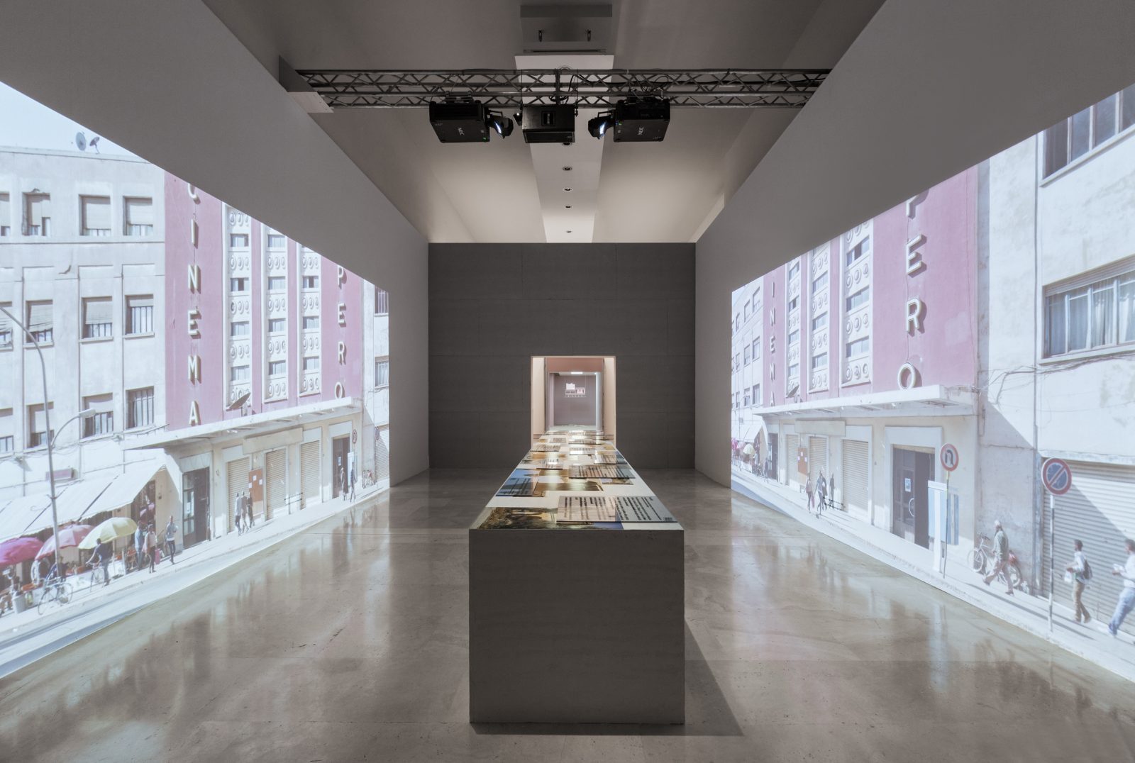
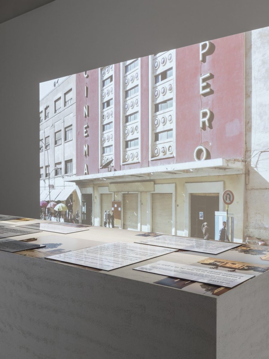
In 2017, the nomination of Asmara, the capital of Eritrea, as a UNESCO World Heritage Site for its fascist and colonial architecture built during the period of Italian occupation, posed a series of fundamental questions for both the ex-colonized and the ex- colonizers: who has the right to preserve, reuse and re-narrate fascist colonial architecture?
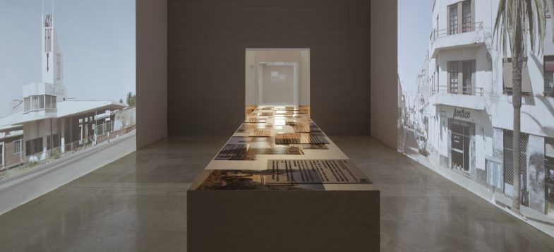 The installation presented for the 2020 Quadriennale d´arte- FUORI at Palazzo delle Esposizioni in Rome, home to the First International Colonial Art Exhibition (1931) and other propaganda exhibitions of the regime, proposes to rethink the rural towns built by the “Entity of Colonization” in Sicily starting from the nomination of Asmara as a World Heritage Site. The installation is the first intervention ”Towards a Decolonization Entity / Verso un Ente di Colonizzazione” that will be made up of those who feel the urgency to question the broad historical, cultural and political heritage steeped in colonialism and fascism, and thus begin a common path towards new practices of decolonization and reparation.
TOWARDS AN ENTITY OF DECOLONIZATION/ VERSO UN ENTE DI DECOLONIZZAZIONE, 2020
A project by Sandi Hilal e Alessandro Petti (DAAR)
Photograpohic dossier: Luca Capuano
Installation: Video projections, Photographs, plexiglass
Research and text: Emilio Distretti, Husam Abu Salem
Graphic design: Diego Segatto, Rosanna Lama
QUADRIENNALE D’ARTE 2020 | FUORI
Palazzo delle Esposizioni, Roma
30 Ottobre 2020 > 17 Gennaio 2021
Borgo <del>Bonsignore</del>
Data di costruzione: inizio lavori gennaio 1940 / fine lavori 1940
Riferimento del nome del borgo: Antonio Bonsignore (ha preso parte alla guerra d’Etiopia) Architetto/ingegnere: Donato Mendolia
Possibile tipologia di borgo: Tipo A
Distretto: Comune di Ribera, provincia di Agrigento
Coordinate: 37°25’18.8”N 13°16’11.7”E
Proprietario del terreno prima della costruzione: ospedale civico di Sciacca (in gran parte)
Valore terreno al momento della costruzione: £ 1.551.837,0
Costi di costruzione: £ 1.303.505,10
Stato attuale: Varie ristrutturazioni e aggiunte / disabitato
Photogrphic dossier: Luca Capuano
fonti Archivio Luce: www.patrimonio.archivioluce.com
https://it.wikipedia.org/wiki/Borgo_Bonsignore
https://wwwvoxhumana.blogspot.com/03/2013/la-via-dei-borghi-12la-quinta-fase-dei.html https://www.fondoambiente.it/luoghi/borgo-bonsignore?ldc
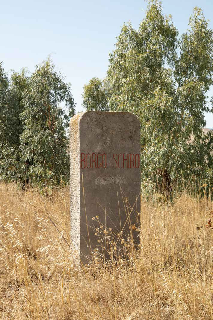
Borgo <del>Schirò</del>
Data di costruzione: fine lavori dicembre 1940
Riferimento del nome del borgo: Giacomo Schirò
Architetto/ingegnere: Girolamo Manetti-Cusa
Possibile tipologia di borgo: Tipo A
Distretto: Comune di Monreale, provincia di Palermo
Coordinate: 37°29’48.8”N 14°12’00.6”E
Proprietario del terreno prima della costruzione: famiglie Mirto, Riina, Terrusa, Gennaro e Chiaramonte
Valore terreno al momento della costruzione: £ 2,405,945.0
Costi di costruzione: £ 4,620,024.68
Stato attuale: cattive condizioni, ristrutturazioni limitate, graffiti su molti edifici
Popolazione: 0 (dati relativi al 2011)
fonti Archivio Luce: www.patrimonio.archivioluce.com
https://it.wikipedia.org/wiki/Borgo_Schir%C%3B2
http://wwwvoxhumana.blogspot.com/search/label/borgo20%Schir%C%3B2
https://www.vacuamoenia.net/it/portfolio/borgo-schiro/
Borgo <del>Cascino</del>
Date of construction: 1940
Name: Antonio Cascino participated in the occupation of Albania and Slovenia
Population: 47
Architect: Giuseppe Marletta
Typology: A
Provance: Enna
Coordinate: 37°29’48.8”N 14°12’00.6”E
Landowners before the construction: Famiglie Greco-Militello e Lo Manto
Actual status: Renovated in 2004
Notes from the field
This was the first town we visited in our fieldwork. In the square, we met a welcoming old couple. (conversation link). They talked about a continuously inhabited town as an extended family.
The town was given to the local municipality from the “Ente dello sviluppo” with the requirement that the buildings should have a permanent public use. At the time of the visit, the public buildings have been transformed into housing. And although they don’t have any recognized ownership, they don’t’ feel the fear of being evicted.
The town has been recently renovated in 2004 (“Lavori di sviluppo e rinnovamento” Ministero delle politiche agricole alimentari e forestale, fondo europeo agricolo per lo sviluppo rurale, programma di sviluppo rurale, Enna Municipality).
A plaque entitled to Antonio Cascino , a soldier who died in the war of 1917.
The town is designed around the piazza, a void created by the facades of public institutions. What is this void? The facades and the piazza are very photogenic. It is not surprising that local photographers use it as a location for weddings.
Photogrphic dossier: Luca Capuano
Data di costruzione: inizio lavori febbraio 1940 / fine lavori dicembre 1940
Riferimento del nome del borgo: Antonio Cascino (ha partecipato alla colonizzazione di Albania e Slovenia)
Architetto/ingegnere: Giuseppe Marletta
Possibile tipologia di borgo: Tipo A
Distretto: Provincia di Enna
Coordinate: 37°29’48.8”N 14°12’00.6”E
Proprietario del terreno prima della costruzione: Famiglie Greco-Militello e Lo Manto
Valore terreno al momento della costruzione: £ 1,842,224.0
Costi di costruzione: £ 1,323,645.0
Stato attuale: Varie ristrutturazioni ed aggiunte. Parzialmente abitato
Popolazione: 47 (dati relativi al 2011)
fonti Archivio Luce: www.patrimonio.archivioluce.com
https://sh.wikipedia.org/wiki/Borgo_Cascino,_Enna
https://www.ennamagazine.it/News/TabId/92/ArtMID/490/ArticleID/2270 http://wwwvoxhumana.blogspot.com/05/2013/la-via-dei-borghi-15la-quinta-fase-dei.html https://www.vacuamoenia.net/it/portfolio/borgo-cascino/
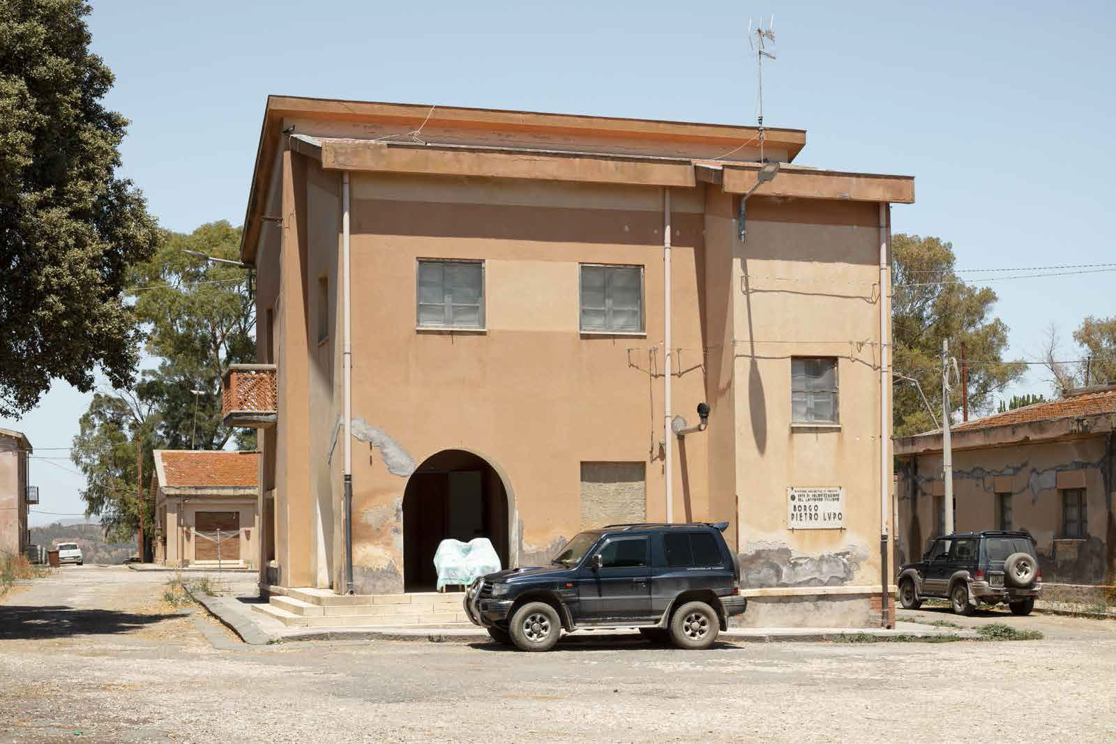
Borgo <del>Lupo</del>
Data di costruzione: inizio lavori gennaio 1940 / fine lavori dicembre 1940
Riferimento del nome del borgo: Pietro Lupo (ha partecipato alla guerra in Africa)
Architetto/ingegnere: Filippo Marino
Possibile tipologia di borgo: Tipo B
Distretto: Comune di Mineo, provincia di Catania
Coordinate: 37°20’30.4”N 14°37’34.3”E
Proprietario del terreno prima della costruzione: probabilmente famiglia Giusino
Valore terreno al momento della costruzione: N.A.
Costi di costruzione: £ 1,865,938.30
Stato attuale: diverse ristrutturazioni
Popolazione: 15 (dati relativi al 2019)
fonti Archivio Luce: www.patrimonio.archivioluce.com
http://wwwvoxhumana.blogspot.com/search/label/Borgo%20Lupo
https://www.vacuamoenia.net/it/portfolio/borgo-lupo/
https://www.gettyimages.com/detail/news-photo/view-of-the-central-square-of-borgo-pietro-lupo-built-news-photo/482271325
Borgo <del>Fazio</del>
Data di costruzione: inizio lavori gennaio 1940 / fine lavori dicembre 1940
Riferimento del nome del borgo: Amerigo Fazio (ha partecipato alla colonizzazione dell’Eritrea)
Architetto/ingegnere: Luigi Epifanio
Possibile tipologia di borgo: Tipo B
Distretto: Comune di Guarine, provincia di Trapani
Coordinate: 37°51’26.3”N 12°40’03.5”E
Proprietario del terreno prima della costruzione: N. A.
Valore terreno al momento della costruzione: N.A (i proprietari rifiutarono di vendere e aprirono una causa civile)
Costi di costruzione: £ 1,502,319.0
Stato attuale: abbandonato, rovine
Popolazione: 0
fonti Archivio Luce: www.patrimonio.archivioluce.com
http://wwwvoxhumana.blogspot.com/04/2013/la-via-dei-borghi-13la-quinta-fase-dei.html
https://www.vacuamoenia.net/it/portfolio/borgo-fazio/
Borgo <del>Giuliano</del>
Data di costruzione: inizio lavori gennaio 1940 / fine lavori dicembre 1940
Riferimento del nome del borgo: Salvatore Giuliano (ha preso parte alla colonizzazione dell’Eritrea)
Architetto/ingegnere: Guido Baratta
Possibile tipologia di borgo: Tipo A
Distretto: Provincia di Messina
Coordinate: 37°49’15.5”N 14°41’10.0”E
Proprietario del terreno prima della costruzione: Leanza Amato
Valore terreno al momento della costruzione: £ 1,280,539
Costi di costruzione: £ 1,287,923
Stato attuale: totalmente abbandonato, rovine
Popolazione: 0 (dati relativi al 2011)
fonti Archivio Luce: www.patrimonio.archivioluce.com
http://wwwvoxhumana.blogspot.com/search/label/Borgo%20Giuliano
https://www.vacuamoenia.net/it/portfolio/borgo-giuliano/
Borgo <del>Petilia</del>
Date: 1940
Name: Originally named Borgo Gigino Gattuso
Population: 85
Architecture: Edoardo Caracciolo
Tipology: Tipo A
provance: Caltanissetta
Coordinate: 37°32’35.0”N 14°03’37.0”E
Actual status: partially renewed
Notes from the fieldwork
The town is more modest compared to others. The community is quite active: they renovated the church and other buildings. A museum of the farmer civilization aims “through territorial marketing, give values to local cultural, identity, tradition and local food with the activation of a web site for tourists”.
It was previously named Gigini Gattuso, a fascist militant protagonist also of one of Camilleri novel, “Privo di Titolo”.
The main building was heavily transformed.
Photographic dosser Luca Capuano
Data di costruzione: inizio lavori gennaio 1940 / fine lavori dicembre 1940
Riferimento del nome del borgo: Il borgo originariamente era stato chiamato Borgo Gigino Gattuso
Architetto/ingegnere: Edoardo Caracciolo
Possibile tipologia di borgo: Tipo A
Distretto: Comune di Caltanissetta, provincia di Caltanissetta
Coordinate: 37°32’35.0”N 14°03’37.0”E
Proprietario del terreno prima della costruzione: N.A.
Valore terreno al momento della costruzione: N.A.
Costi di costruzione: £ 1,267,226.60
Stato attuale: parzialmente ristrutturato
Popolazione: 85 (dati relativi al 2011)
fonti Archivio Luce: www.patrimonio.archivioluce.com
http://wwwvoxhumana.blogspot.com/search/label/borgo%20Petilia
http://it.wikipedia.org/wiki/Borgo_Petilia
